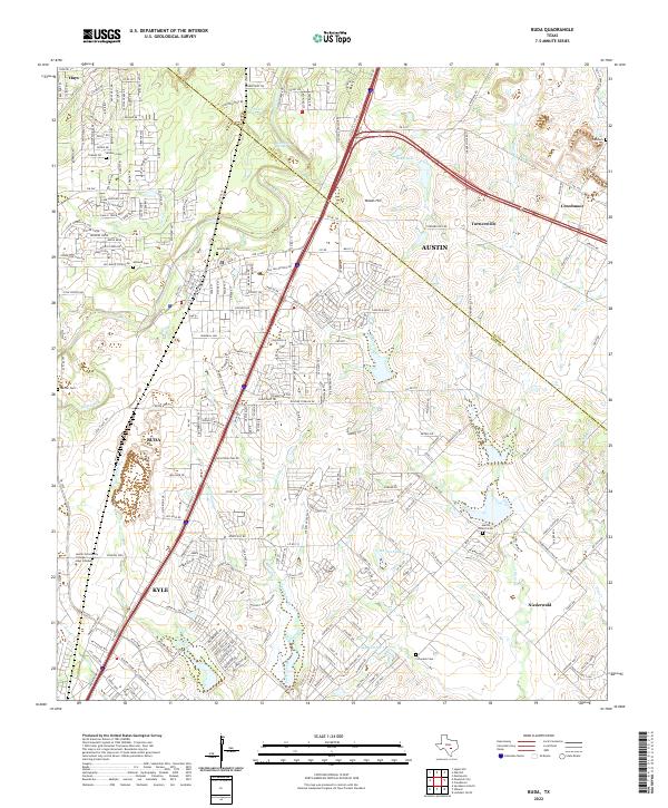
2022 Map of Buda
USGS Topo · Published 2022About this map
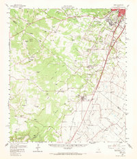
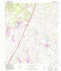
The Travis Co Hays Co line runs through this area south of Austin, documenting a landscape of rapid suburban expansion alongside deep-rooted rural sites. The historic Old San Antonio Rd and I-35 corridor serve as the primary north-south spine, connecting the growing municipalities of Buda and Kyle. This thoroughfare is flanked by several significant family and community burial grounds, including Winters Cem, Antioch Cem, and Allen Cem, which preserve the genealogy of the area's early settlers.
Find a feature on this map
38 named features on this map. Tap any name to fly to it.
Don’t see what you’re looking for? This feature index may not catch every label — zoom into the map to look around manually.
Map Details
Editions of this 2022 Buda Map
This is the sole edition of this map. No revisions or reprints were ever made.