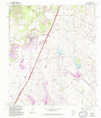
1968 Map of Buda
USGS Topo · Published 1994About this map
Onion Creek and its many tributaries, including Bear Creek and Garlic Creek, carve through the rolling landscape of this Central Texas corridor. The settlement of Buda serves as a focal point, showing a mix of established community landmarks like Antioch Ch and Allen Cem alongside mid-century developments like the Mobile Home Park. Revisions from the late 1980s highlight the suburban expansion of Austin and Kyle beginning to press into the rural areas of Hays and Travis counties. Notable educational and social institutions, such as Science Hall and the Central Texas Childrens Home, are situated among a landscape still heavily defined by resource extraction, evidenced by numerous Gravel Pits scattered near the creek beds. Older rural communities like Turnersville and Goforth remain distinct, connected by a network of named roads such as Old Lockhart Road.
Find a feature on this map
49 named features on this map. Tap any name to fly to it.
Don’t see what you’re looking for? This feature index may not catch every label — zoom into the map to look around manually.
Map Details
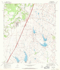
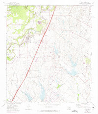
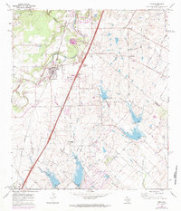
Editions of this 1968 Buda Map
4 editions found
Other maps of this area

1896 · Austin
USGS Topo · 1:125,000

1897 · Austin
USGS Topo · 1:125,000

1910 · Austin
USGS Topo · 1:125,000

1911 · San Marcos
USGS Topo · 1:125,000

1919 · San Marcos
USGS Topo · 1:125,000

1930 · Lockhart
USGS Topo · 1:62,500

1953 · Seguin
USGS Topo · 1:250,000

1954 · Austin
USGS Topo · 1:250,000

1955 · Montopolis
USGS Topo · 1:24,000

1955 · Oak Hill
USGS Topo · 1:24,000