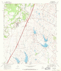
1968 Map of Buda
USGS Topo · Published 1971About this map
Buda and the surrounding Central Texas countryside are captured here during a period of steady growth along the Missouri Pacific railroad corridor. The landscape is defined by the winding course of Onion Creek and its many tributaries, including Garlic Creek and Bear Creek. Small rural communities and historical gathering points are scattered throughout the region, from the cluster at Turnersville in the northeast to Science Hall and Goforth in the south. Local heritage is preserved in several family and community landmarks such as Antioch Cem, Barton Cem, and the Santa Cruz Ch.
Find a feature on this map
46 named features on this map. Tap any name to fly to it.
Don’t see what you’re looking for? This feature index may not catch every label — zoom into the map to look around manually.
Map Details
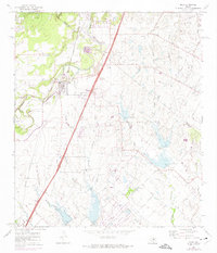
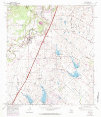
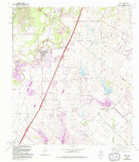
Editions of this 1968 Buda Map
4 editions found
Other maps of this area

1896 · Austin
USGS Topo · 1:125,000

1897 · Austin
USGS Topo · 1:125,000

1910 · Austin
USGS Topo · 1:125,000

1911 · San Marcos
USGS Topo · 1:125,000

1919 · San Marcos
USGS Topo · 1:125,000

1930 · Lockhart
USGS Topo · 1:62,500

1953 · Seguin
USGS Topo · 1:250,000

1954 · Austin
USGS Topo · 1:250,000

1955 · Montopolis
USGS Topo · 1:24,000

1955 · Oak Hill
USGS Topo · 1:24,000