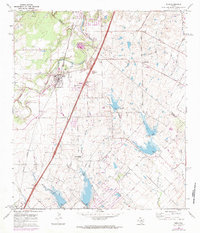
1968 Map of Buda
USGS Topo · Published 1984About this map
Buda and the surrounding Hill Country landscape are captured here in the late 1960s, showing a rural Texas community on the cusp of suburban expansion. The town center is defined by the Missouri Pacific railroad line, while several outlying hamlets like Turnersville, Goforth, and Science Hall anchor the surrounding ranch lands. This period shows the importance of local social and family landmarks, with country churches such as Santa Cruz Ch and Martin Ch serving as focal points for the community.
Find a feature on this map
38 named features on this map. Tap any name to fly to it.
Don’t see what you’re looking for? This feature index may not catch every label — zoom into the map to look around manually.
Map Details
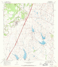
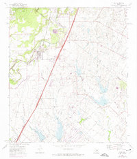
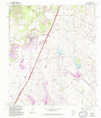
Editions of this 1968 Buda Map
4 editions found
Other maps of this area

1896 · Austin
USGS Topo · 1:125,000

1897 · Austin
USGS Topo · 1:125,000

1910 · Austin
USGS Topo · 1:125,000

1911 · San Marcos
USGS Topo · 1:125,000

1919 · San Marcos
USGS Topo · 1:125,000

1930 · Lockhart
USGS Topo · 1:62,500

1953 · Seguin
USGS Topo · 1:250,000

1954 · Austin
USGS Topo · 1:250,000

1955 · Montopolis
USGS Topo · 1:24,000

1955 · Oak Hill
USGS Topo · 1:24,000