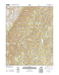
2013 Map of Buena Vista
USGS Topo · Published 2013About this map
Buena Vista serves as the primary urban center in this region, where the Maury River and its accompanying Maury River Drive define the western boundary. The city's residential neighborhoods like Racy Acres and Enderly Heights sit against the backdrop of the Blue Ridge, with significant peaks including Garnet Peak and Elephant Mountain rising sharply to the east.
Find a feature on this map
122 named features on this map. Tap any name to fly to it.
Don’t see what you’re looking for? This feature index may not catch every label — zoom into the map to look around manually.
Map Details
Editions of this 2013 Buena Vista Map
This is the sole edition of this map. No revisions or reprints were ever made.
Other maps of this area

1894 · Lexington
USGS Topo · 1:125,000

1932 · Lexington
USGS Topo · 1:48,000

1935 · Buena Vista
USGS Topo · 1:48,000

1935 · Amherst
USGS Topo · 1:48,000

1936 · Vesuvius
USGS Topo · 1:48,000

1937 · Lexington
USGS Topo · 1:62,500

1939 · Amherst
USGS Topo · 1:62,500

1939 · Buena Vista
USGS Topo · 1:62,500

1940 · Buena Vista
USGS Topo · 1:62,500

1941 · Vesuvius
USGS Topo · 1:62,500