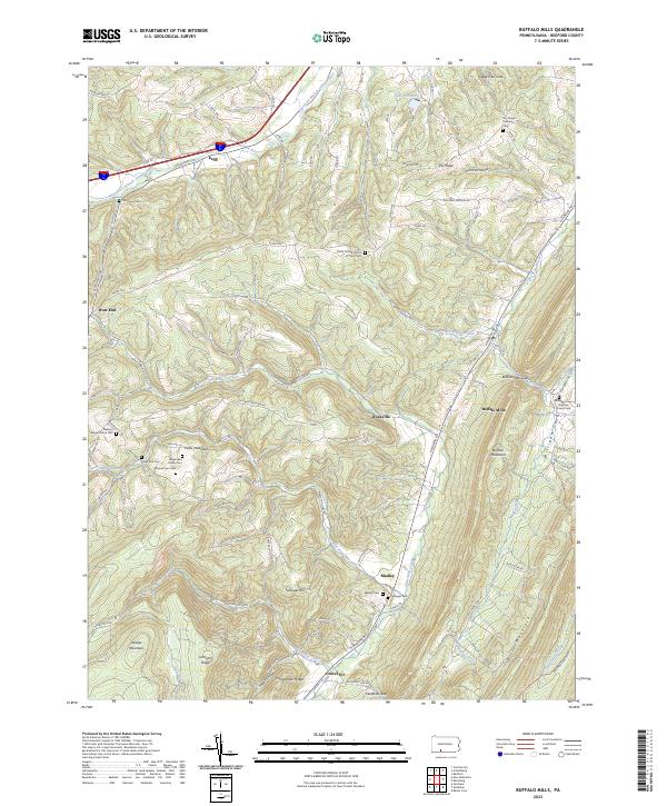
2023 Map of Buffalo Mills
USGS Topo · Published 2023About this map
The Raystown Branch Juniata River carves through the northwestern corner of this landscape, where the settlement of Kegg sits near the base of Savage Mountain. To the southeast, the terrain transitions into a series of steep ridges and narrow gaps, most notably Wolfords Gap and Buffalo Mills Gap. The village of Buffalo Mills is positioned at a key drainage point where Buffalo Run meets Little Wills Creek, reflecting the importance of water access for early Pennsylvania settlements.
Find a feature on this map
92 named features on this map. Tap any name to fly to it.
Don’t see what you’re looking for? This feature index may not catch every label — zoom into the map to look around manually.
Map Details
Editions of this 2023 Buffalo Mills Map
This is the sole edition of this map. No revisions or reprints were ever made.
Other maps of this area

1908 · Bedford
USGS Topo · 1:62,500

1910 · Bedford
USGS Topo · 1:62,500

1914 · Windber
USGS Topo · 1:62,500

1916 · Windber
USGS Topo · 1:62,500

1923 · Berlin
USGS Topo · 1:48,000

1927 · Hyndman
USGS Topo · 1:62,500

1929 · Berlin
USGS Topo · 1:62,500

1931 · Hyndman
USGS Topo · 1:62,500

1944 · Hyndman
USGS Topo · 1:62,500

1944 · Windber
USGS Topo · 1:62,500
Featured Places
- Harrison Township, PA
- Juniata Township, PA
- Kegg, Juniata Township
- Bard, Harrison Township
- Buffalo Mills, Harrison Township