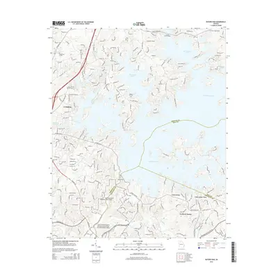
2014 Map of Buford Dam
USGS Topo · Published 2014About this map
Lake Sidney Lanier dominates this North Georgia landscape, its sprawling shoreline defining the boundaries between Forsyth, Hall, and Gwinnett counties. The engineering of the Buford Dam at the southern end of the reservoir reshapes the path of the Chattahoochee River, which flows into the Chattahoochee River National Recreation Area. On the western shore, the city of Cumming serves as a hub of activity near Sawnee Cr and Mashburn Mill Lake.
Find a feature on this map
42 named features on this map. Tap any name to fly to it.
Don’t see what you’re looking for? This feature index may not catch every label — zoom into the map to look around manually.
Map Details
Editions of this 2014 Buford Dam Map
This is the sole edition of this map. No revisions or reprints were ever made.
Other maps of this area

1890 · Suwanee
USGS Topo · 1:125,000

1891 · Gainesville
USGS Topo · 1:125,000

1894 · Suwanee
USGS Topo · 1:125,000

1954 · Greenville
USGS Topo · 1:250,000

1955 · Rome
USGS Topo · 1:250,000

1956 · Duluth
USGS Topo · 1:24,000

1958 · Greenville
USGS Topo · 1:250,000

1958 · Rome
USGS Topo · 1:250,000

1961 · Rome
USGS Topo · 1:250,000

1963 · Rome
USGS Topo · 1:250,000