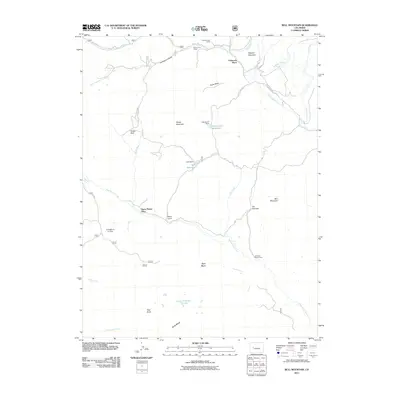
2011 Map of Bull Mountain
USGS Topo · Published 2011About this map
Patterson Place and other historical ranching outposts define this high-country landscape in Gunnison County as it appeared in 2011. The map documents the enduring infrastructure of Colorado's livestock industry, naming specific seasonal locations such as Cockroft Cow Camp, Brown Cow Camp, and Hotchkiss Sheep Camp. These camps are situated near essential water sources and drainages like Henderson Creek and West Muddy Creek, which cut through the complex topography of Ragged Mountain and Bull Mountain.
Find a feature on this map
41 named features on this map. Tap any name to fly to it.
Don’t see what you’re looking for? This feature index may not catch every label — zoom into the map to look around manually.
Map Details
Editions of this 2011 Bull Mountain Map
This is the sole edition of this map. No revisions or reprints were ever made.
Other maps of this area

1938 · Mt. Gunnison
USGS Topo · 1:48,000

1945 · Mount Gunnison
USGS Topo · 1:62,500

1956 · Montrose
USGS Topo · 1:250,000

1957 · Leadville
USGS Topo · 1:250,000

1959 · Leadville
USGS Topo · 1:250,000

1959 · Montrose
USGS Topo · 1:250,000

1960 · Leadville
USGS Topo · 1:250,000

1960 · Montrose
USGS Topo · 1:250,000

1961 · Electric Mountain
USGS Topo · 1:24,000

1961 · Spruce Mountain
USGS Topo · 1:24,000