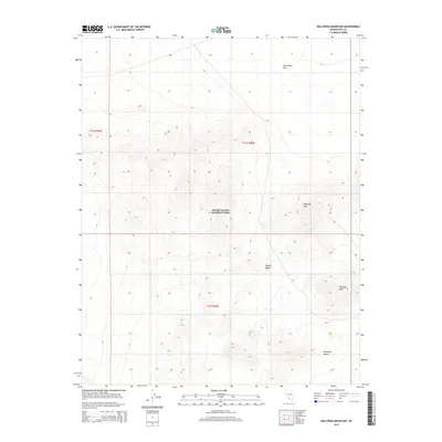
2015 Map of Bullfrog Mountain
USGS Topo · Published 2015About this map
Death Valley National Park occupies the central portion of this Nye County landscape, where the high desert terrain transitions between several distinct geological basins. The northern reaches are dominated by the wide expanse of Sarcobatus Flat, while the southern terrain falls away into the Amargosa Desert and the northern fringes of the Mojave Desert. This area is defined by the significant elevations of the Bullfrog Hills, including the prominent summit of Bullfrog Mtn. The map provides a contemporary look at the protected federal lands and the complex topography of this arid region, illustrating the stark natural boundaries between the valley floor and the surrounding mountain ranges at the edge of the Nevada-California border.
Find a feature on this map
9 named features on this map. Tap any name to fly to it.
Don’t see what you’re looking for? This feature index may not catch every label — zoom into the map to look around manually.
Map Details
Editions of this 2015 Bullfrog Mountain Map
This is the sole edition of this map. No revisions or reprints were ever made.
Other maps of this area

1908 · Kawich
USGS Topo · 1:250,000

1908 · Lida
USGS Topo · 1:250,000

1908 · Furnace Creek
USGS Topo · 1:250,000

1908 · Ballarat
USGS Topo · 1:250,000

1910 · Furnace Creek
USGS Topo · 1:250,000

1913 · Lida
USGS Topo · 1:250,000

1913 · Ballarat
USGS Topo · 1:250,000

1942 · Tolicha Peak
USGS Topo · 1:125,000

1942 · Bullfrog
USGS Topo · 1:125,000

1948 · Death Valley
USGS Topo · 1:250,000