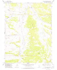
1977 Map of Bullwhack Summit
USGS Topo · Published 1977About this map
Steptoe Valley and Cave Valley meet at the prominence of Bullwhack Summit in this mid-1970s survey of the Nevada interior. The landscape is defined by the high ridges of the Shell Creek Range to the east and the unique topography of Mollys Nipples overlooking the high desert flats. This area preserves the markings of ranching and early travel, with water sources like Jones Spring and South Bullwhack Spring providing essential stops for movement between the valleys.
Find a feature on this map
20 named features on this map. Tap any name to fly to it.
Don’t see what you’re looking for? This feature index may not catch every label — zoom into the map to look around manually.
Map Details
Editions of this 1977 Bullwhack Summit Map
This is the sole edition of this map. No revisions or reprints were ever made.
Other maps of this area

1956 · Lund
USGS Topo · 1:250,000

1960 · Lund
USGS Topo · 1:250,000

1969 · Parker Station
USGS Topo · 1:24,000

1969 · Haggerty Spring
USGS Topo · 1:24,000
1973 · White Rock Creek
USGS Topo · 1:24,000

1973 · Cattle Camp Spring
USGS Topo · 1:24,000
1973 · Horse Camp Springs
USGS Topo · 1:24,000
1977 · Brown Knoll
USGS Topo · 1:24,000
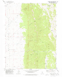
1977 · Sawmill Canyon
USGS Topo · 1:24,000
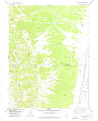
1978 · Mt. Grafton
USGS Topo · 1:24,000