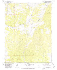
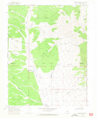
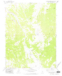
1973 Map of Cattle Camp Spring
USGS Topo · Published 1977About this map
The high ridges of the Schell Creek Range dominate this 1970s survey, defined by a network of seasonal water sources critical to the local livestock and mining history of White Pine County. The landscape is punctuated by numerous named springs, such as Cattle Camp Spring and Virginia Dale Spring, which served as essential waypoints along the rugged terrain. Evidence of mineral exploration is visible near the northern boundary, where a Prospect is noted between Meadow Spring and Virginia Dale Spring.
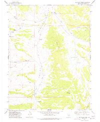
Find a feature on this map
19 named features on this map. Tap any name to fly to it.
Don’t see what you’re looking for? This feature index may not catch every label — zoom into the map to look around manually.
Map Details
Editions of this 1973 Cattle Camp Spring Map
This is the sole edition of this map. No revisions or reprints were ever made.
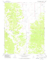
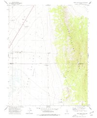
Other maps of this area

1956 · Lund
USGS Topo · 1:250,000

1960 · Lund
USGS Topo · 1:250,000
1969 · Parker Station
USGS Topo · 1:24,000
1973 · White Rock Creek
USGS Topo · 1:24,000

1973 · North Spring Point
USGS Topo · 1:24,000
1973 · Mount Grafton NE
USGS Topo · 1:24,000
1973 · Horse Camp Springs
USGS Topo · 1:24,000
1977 · Bullwhack Summit
USGS Topo · 1:24,000
1978 · Mt. Grafton
USGS Topo · 1:24,000
1978 · Lake Valley Summit
USGS Topo · 1:24,000