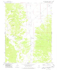
1973 Map of White Rock Creek
USGS Topo · Published 1977About this map
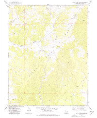
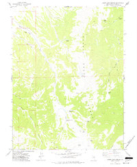
Egan Range peaks and the high desert flats of Steptoe Valley define this mid-1970s topographical record of eastern Nevada. The landscape is marked by a vital network of water sources necessary for high-altitude ranching and transit, including White Rock Spring, Quaky Spring, and Little White Rock Spring. These springs feed into the drainage of White Rock Creek, which flows eastward toward the valley floor. Evidence of the region’s pastoral history is found in names like Basque Canyon and the presence of localized infrastructure such as the Cattle Camp Wash Well and Horse Camp Well.
Find a feature on this map
15 named features on this map. Tap any name to fly to it.
Don’t see what you’re looking for? This feature index may not catch every label — zoom into the map to look around manually.
Map Details
Editions of this 1973 White Rock Creek Map
This is the sole edition of this map. No revisions or reprints were ever made.
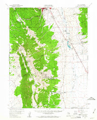
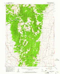
Other maps of this area
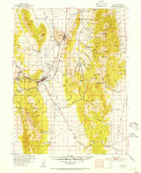
1952 · Ely
USGS Topo · 1:125,000

1956 · Lund
USGS Topo · 1:250,000

1956 · Ely
USGS Topo · 1:250,000
1958 · Ely
USGS Topo · 1:62,500

1959 · Ely
USGS Topo · 1:250,000
1959 · Connors Pass
USGS Topo · 1:62,500

1960 · Lund
USGS Topo · 1:250,000

1963 · Ely
USGS Topo · 1:250,000
1973 · Cattle Camp Spring
USGS Topo · 1:24,000
1973 · Horse Camp Springs
USGS Topo · 1:24,000