
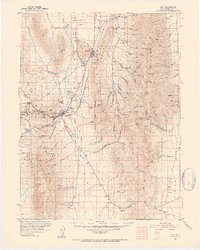
1952 Map of Ely
USGS Topo · Published 1954About this map
The copper-rich landscape of White Pine County comes alive in this 1950s survey, dominated by the massive industrial operations at Ruth and the Copper Smelter at McGill. This era represents a peak for the Nevada Northern RR, which snakes through the Steptoe valley connecting the mines to the smelter and the hub of Ely. Beyond the industrial activity, the map reveals deep-rooted mining history through features like the Ely-Centennial Tunnel and various shafts like the Columbia and Chairman Shaft. The rugged geography of the Shell Creek Range and Egan Range is punctuated by cultural sites like the Charcoal Ovens and the Berry Creek Ranger Sta, while smaller settlements such as Adverse, Glenn, and Taylor provide a window into the remote habitation patterns of mid-century Nevada.
Find a feature on this map
95 named features on this map. Tap any name to fly to it.
Don’t see what you’re looking for? This feature index may not catch every label — zoom into the map to look around manually.
Map Details
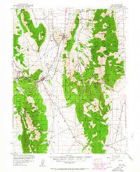
Editions of this 1952 Ely Map
3 editions found
Other maps of this area

1948 · Wheeler Peak
USGS Topo · 1:62,500

1950 · Wheeler Peak
USGS Topo · 1:62,500

1956 · Lund
USGS Topo · 1:250,000

1956 · Ely
USGS Topo · 1:250,000

1958 · McGill
USGS Topo · 1:24,000

1958 · Ruth
USGS Topo · 1:24,000

1958 · East Ely
USGS Topo · 1:24,000

1958 · Comins Lake
USGS Topo · 1:24,000

1958 · Ely
USGS Topo · 1:62,500

1958 · McGill
USGS Topo · 1:62,500