
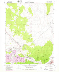
1958 Map of Ruth
USGS Topo · Published 1960About this map
Industrial copper mining dominates this mid-century landscape of the Egan Range, where the massive excavation of the Liberty Pit and Kimbley Pit reveals the sheer scale of operations near Ruth. The terrain is etched with dozens of specialized mining landmarks, from the Deep Ruth Shaft and Star Pointer Shaft to expansive waste sites like the Puritan Dump. This 1950s survey captures the region's complex infrastructure, including the Nevada Northern railroad lines threading through Robinson Canyon to serve the settlements of Keystone and Lane City. Beyond the industrial activity, the map details traditional mountain features such as Hercules Gap and Squaw Peak, while the northern portion transitions into the relatively open expanses of Smith Valley and Steptoe Valley, marked by intermittent Springs and jeep trails.
Find a feature on this map
76 named features on this map. Tap any name to fly to it.
Don’t see what you’re looking for? This feature index may not catch every label — zoom into the map to look around manually.
Map Details
Editions of this 1958 Ruth Map
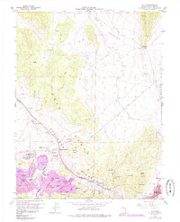
Other maps of this area

1952 · Ely
USGS Topo · 1:125,000

1956 · Ely
USGS Topo · 1:250,000

1958 · McGill
USGS Topo · 1:24,000

1958 · East Ely
USGS Topo · 1:24,000

1958 · Comins Lake
USGS Topo · 1:24,000

1958 · Ely
USGS Topo · 1:62,500

1958 · McGill
USGS Topo · 1:62,500

1958 · Reipetown
USGS Topo · 1:24,000

1958 · Giroux Wash
USGS Topo · 1:24,000

1958 · Ely
USGS Topo · 1:24,000