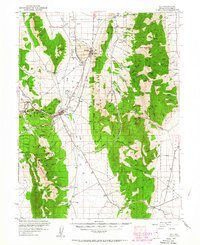
1952 Map of Ely
USGS Topo · Published 1963About this map
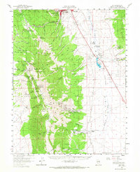
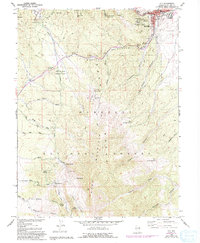
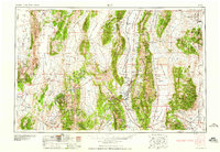
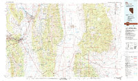
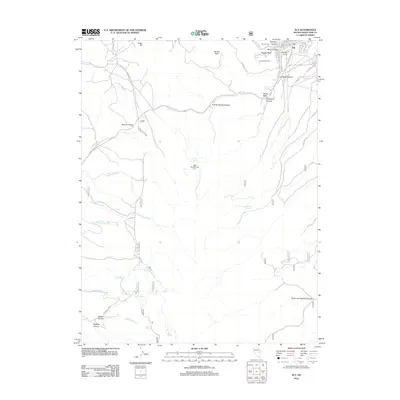
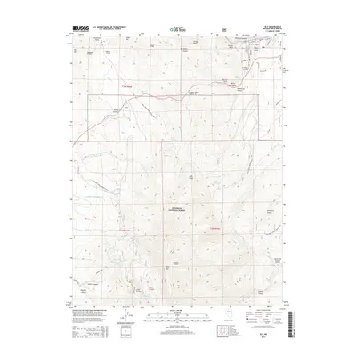
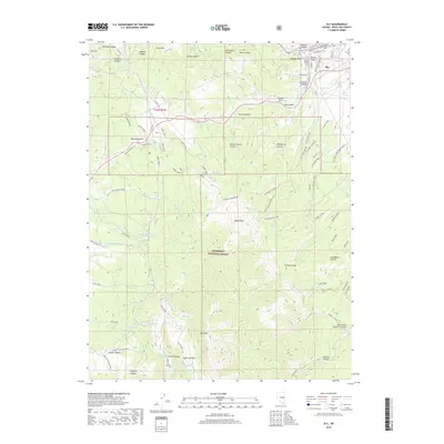
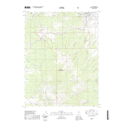
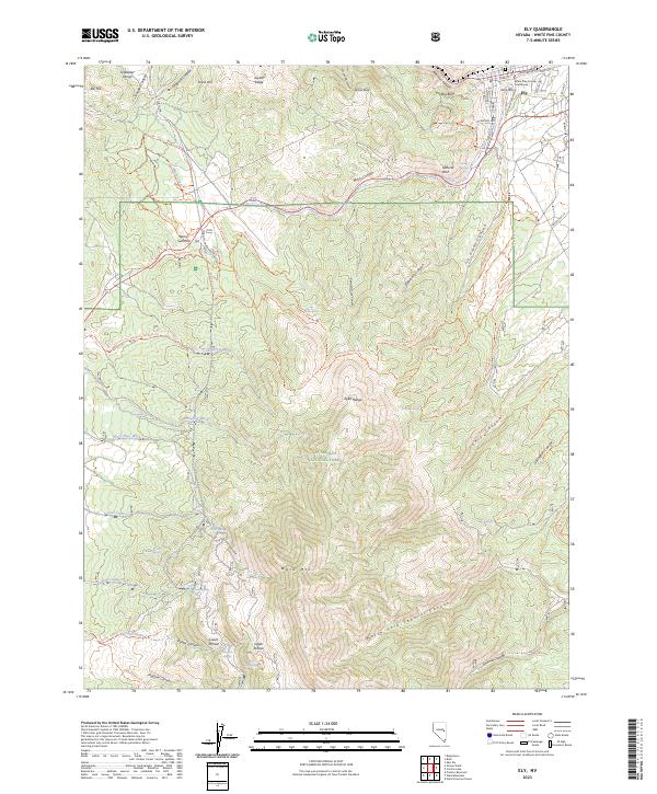
The industrial core of White Pine County is defined by the heavy mineral extraction operations at Ruth and the large Copper Smelter at McGill. This 1950s survey captures the region's copper-driven economy at its mid-century height, connected by the Nevada Northern RR which runs north through the Steptoe Valley. While Ely serves as the regional hub with its Ely Airport and County Fairgrounds, the landscape is dominated by the massive Copper Pit and geological features like Fossil Hill. Outside the mining zones, the Humboldt National Forest spans the high peaks of the Schell Creek Range and Egan Range. Notable landmarks include the historic Charcoal Ovens to the south and Success Summit, providing a look at the infrastructure required to support both the timber and mining industries in this high-desert basin.
Find a feature on this map
92 named features on this map. Tap any name to fly to it.
Don’t see what you’re looking for? This feature index may not catch every label — zoom into the map to look around manually.
Map Details
Editions of this 1952 Ely Map
3 editions found
Historical Maps of Ely Through Time
12 maps found
1952 Ely
White Pine County, NV
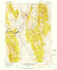
1956 Ely
White Pine County, NV
1958 Ely
White Pine County, NV
1958 Ely
White Pine County, NV
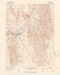
1959 Ely
White Pine County, NV

1963 Ely
White Pine County, NV
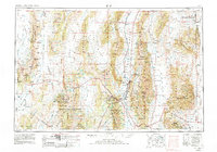
1987 Ely
White Pine County, NV
2012 Ely
White Pine County, NV
2014 Ely
White Pine County, NV
2018 Ely
White Pine County, NV
2021 Ely
White Pine County, NV
2023 Ely
White Pine County, NV