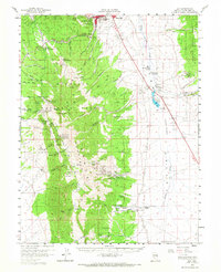
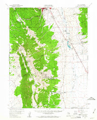
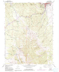
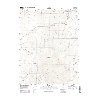
1958 Map of Ely
USGS Topo · Published 1967About this map
Ely and East Ely serve as the hub of this Nevada landscape in the late 1950s, where the Nevada Northern RR facilitates the region's mining and transit needs. The map reveals an area defined by industrial heritage and water management, featuring an intricate network of springs and tunnels like the North Springs Water Tunnels and South Springs Water Tunnels to sustain the population.
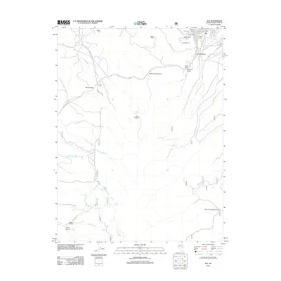
Find a feature on this map
90 named features on this map. Tap any name to fly to it.
Don’t see what you’re looking for? This feature index may not catch every label — zoom into the map to look around manually.
Map Details
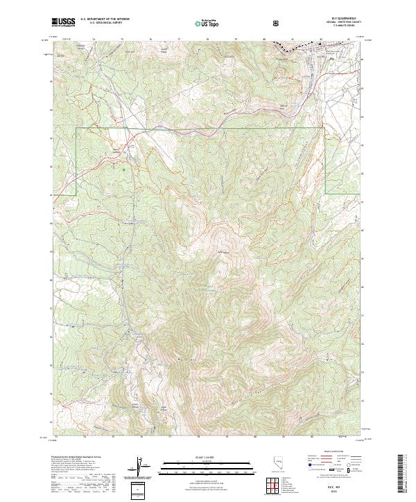
Editions of this 1958 Ely Map
2 editions found
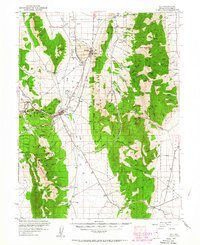
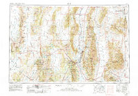
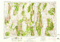
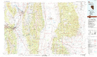
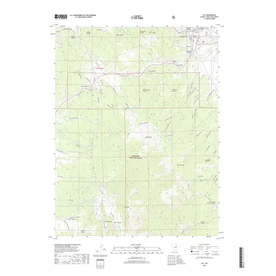
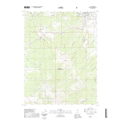
Historical Maps of Ely Through Time
12 maps found
1952 Ely
White Pine County, NV
1956 Ely
White Pine County, NV
1958 Ely
White Pine County, NV
1958 Ely
White Pine County, NV
1959 Ely
White Pine County, NV

1963 Ely
White Pine County, NV
1987 Ely
White Pine County, NV
2012 Ely
White Pine County, NV
2014 Ely
White Pine County, NV
2018 Ely
White Pine County, NV
2021 Ely
White Pine County, NV
2023 Ely
White Pine County, NV