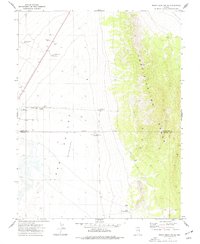
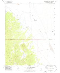
1973 Map of Mount Grafton NE
USGS Topo · Published 1977About this map
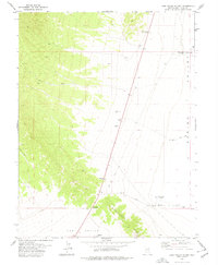
Fortification Range dominates the eastern landscape of this Nevada basin-and-range survey, providing a sharp topographical contrast to the arid floor of Lake Valley (Depression). The map reveals a land defined by its scarce water resources, where a network of remote infrastructure supports activity across the valley floor. Names like Geyser Well, North Gouge Eye Well, and the East Bench Well No 1 indicate the essential role of groundwater extraction in this high-desert environment.
Find a feature on this map
17 named features on this map. Tap any name to fly to it.
Don’t see what you’re looking for? This feature index may not catch every label — zoom into the map to look around manually.
Map Details
Editions of this 1973 Mount Grafton NE Map
This is the sole edition of this map. No revisions or reprints were ever made.
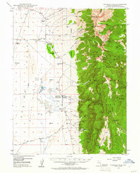
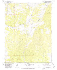
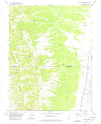
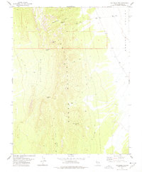
Other maps of this area
1948 · Wheeler Peak
USGS Topo · 1:62,500
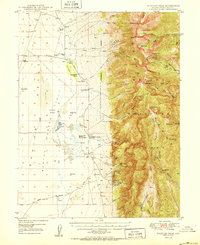
1950 · Wheeler Peak
USGS Topo · 1:62,500

1956 · Lund
USGS Topo · 1:250,000

1960 · Lund
USGS Topo · 1:250,000
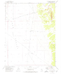
1973 · Gouge Eye Well
USGS Topo · 1:24,000
1973 · Indian Springs Knolls
USGS Topo · 1:24,000
1973 · Cattle Camp Spring
USGS Topo · 1:24,000
1978 · Mt. Grafton
USGS Topo · 1:24,000
1978 · The Gouge Eye
USGS Topo · 1:24,000
1978 · Lake Valley Summit
USGS Topo · 1:24,000