
1973 Map of Gouge Eye Well
USGS Topo · Published 1977About this map
Lake Valley dominates this high-desert basin in Lincoln County, Nevada, where the scarce water sources dictated the movement and survival of those crossing the arid terrain. This 1973 survey highlights the vital infrastructure for ranching and travel in a landscape defined by extreme isolation. Named water points such as Gouge Eye Well, South Gouge Eye Well, and Bitter Well are the primary landmarks, often accompanied by technical features like a Water Tank. The existence of a Jeep Trail cutting across the eastern slopes indicates the continued reliance on rugged, unpaved routes to access these remote outposts. The map documents the stark reality of the Great Basin, where human presence is tethered strictly to the few locations where water could be reliably found or stored.
Find a feature on this map
12 named features on this map. Tap any name to fly to it.
Don’t see what you’re looking for? This feature index may not catch every label — zoom into the map to look around manually.
Map Details
Editions of this 1973 Gouge Eye Well Map
This is the sole edition of this map. No revisions or reprints were ever made.
Other maps of this area

1956 · Lund
USGS Topo · 1:250,000

1960 · Lund
USGS Topo · 1:250,000

1973 · Horse Corral Pass
USGS Topo · 1:24,000
1973 · Dutch John Mtn
USGS Topo · 1:24,000

1973 · Indian Springs Knolls
USGS Topo · 1:24,000
1973 · Mustang Well
USGS Topo · 1:24,000
1973 · Mount Grafton NE
USGS Topo · 1:24,000
1978 · Mt. Grafton
USGS Topo · 1:24,000
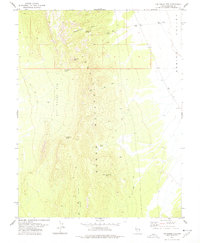
1978 · The Gouge Eye
USGS Topo · 1:24,000
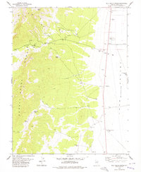
1978 · Milk Ranch Spring
USGS Topo · 1:24,000