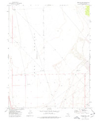
1973 Map of Mustang Well
USGS Topo · Published 1977About this map
Lake Valley occupies the center of this Lincoln County landscape, appearing as a broad topographic basin during the early 1970s. The region is defined by its sparse water resources, primarily represented by isolated wells that served as vital landmarks for surveyors and travelers in this arid terrain. Notable among these are South Well No 3, Lee Travis Well, and Mustang Well, each strategically located to tap into the subterranean water supply of the depression. A network of Jeep Trails provides the primary means of transit across the basin floor, reflecting the limited infrastructure and remote character of the area at the time of the survey. The mapping reveals a systematic division of the land through township and range boundaries, highlighting the importance of cadastral organization in the management of the Great Basin's expansive interior.
Find a feature on this map
11 named features on this map. Tap any name to fly to it.
Don’t see what you’re looking for? This feature index may not catch every label — zoom into the map to look around manually.
Map Details
Editions of this 1973 Mustang Well Map
This is the sole edition of this map. No revisions or reprints were ever made.
Other maps of this area

1956 · Lund
USGS Topo · 1:250,000

1960 · Lund
USGS Topo · 1:250,000

1973 · Schoolmarm Basin
USGS Topo · 1:24,000

1973 · Gouge Eye Well
USGS Topo · 1:24,000

1973 · Horse Corral Pass
USGS Topo · 1:24,000
1973 · Grassy Mtn
USGS Topo · 1:24,000
1973 · Dutch John Mtn
USGS Topo · 1:24,000
1973 · Pony Springs
USGS Topo · 1:24,000
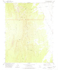
1978 · The Gouge Eye
USGS Topo · 1:24,000
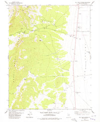
1978 · Milk Ranch Spring
USGS Topo · 1:24,000