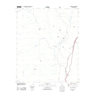
2012 Map of Bumble Bee
USGS Topo · Published 2012About this map
Bumble Bee serves as a central point of settlement in this high-desert landscape of central Arizona, where steep-walled canyons and ephemeral water sources define the terrain. The map traces the historical path of the Crown King Rd as it winds northward through the drainage of Bumble Bee Cr, providing a clear record of the early mining and ranching infrastructure that once dominated Yavapai County. This 2012 survey illustrates the transition from traditional backcountry access points like Castle Creek Rd to the modernized interstate corridor that borders the eastern edge of the quadrangle.
Find a feature on this map
41 named features on this map. Tap any name to fly to it.
Don’t see what you’re looking for? This feature index may not catch every label — zoom into the map to look around manually.
Map Details
Editions of this 2012 Bumble Bee Map
This is the sole edition of this map. No revisions or reprints were ever made.
Other maps of this area

1887 · Prescott
USGS Topo · 1:250,000

1892 · Prescott
USGS Topo · 1:250,000

1903 · Bradshaw Mountains
USGS Topo · 1:125,000

1947 · Crown King
USGS Topo · 1:62,500

1947 · Bumblebee
USGS Topo · 1:62,500

1947 · Mayer
USGS Topo · 1:62,500

1947 · Mt. Union
USGS Topo · 1:62,500

1948 · Bumblebee
USGS Topo · 1:63,360

1948 · Crown King
USGS Topo · 1:63,360

1948 · Mt. Union
USGS Topo · 1:63,360