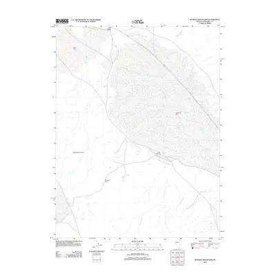
2011 Map of Bunejug Mountains
USGS Topo · Published 2011About this map
Bunejug Mountains dominate this high desert landscape in Churchill County, where an arid basin of expansive flats and seasonal water sources defines the terrain. The presence of Borax Spring and Salt Creek indicates the alkaline mineral character of the region, which historically supported mining interests in Nevada's Great Basin. Significant drainage systems such as Paiute Wash and Diamond Creek flow toward the low-lying reaches of Eightmile Flat and Star Flat, illustrating the internal drainage patterns typical of this environment.
Find a feature on this map
11 named features on this map. Tap any name to fly to it.
Don’t see what you’re looking for? This feature index may not catch every label — zoom into the map to look around manually.
Map Details
Editions of this 2011 Bunejug Mountains Map
This is the sole edition of this map. No revisions or reprints were ever made.
Other maps of this area

1908 · Carson Sink
USGS Topo · 1:250,000

1910 · Carson Sink
USGS Topo · 1:250,000

1951 · Carson Lake
USGS Topo · 1:62,500

1951 · Allen Springs
USGS Topo · 1:62,500

1957 · Reno
USGS Topo · 1:250,000

1959 · Reno
USGS Topo · 1:250,000

1960 · Reno
USGS Topo · 1:250,000

1972 · Fourmile Flat
USGS Topo · 1:24,000

1972 · Diamond Canyon
USGS Topo · 1:24,000

1979 · Fallon
USGS Topo · 1:100,000