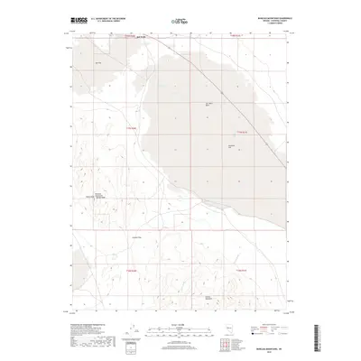
2018 Map of Bunejug Mountains
USGS Topo · Published 2018About this map
Salt Wells sits at the northern edge of this arid expanse, where the high desert terrain transitions into the broad, low-lying Salt Wells Basin. The landscape is defined by vast alkaline flats such as Eightmile Flat and Star Flat, which serve as a stark contrast to the surrounding mountain ranges. To the south and west, the Bunejug Mountains rise sharply, anchored by Wheat Peak and the prominent George Ridge. Evidence of the region's mineral history and scarce water sources appears in features like Borax Spring and Rock Spring, while drainage patterns like Paiute Wash cut through the foothills of the Cocoon Mountains. The alignment of Simpson Pass suggests a natural transit corridor through the higher elevations, while the presence of Salt Cr and Borax Spring highlights the chemistry of the Great Basin's ancient lake beds.
Find a feature on this map
20 named features on this map. Tap any name to fly to it.
Don’t see what you’re looking for? This feature index may not catch every label — zoom into the map to look around manually.
Map Details
Editions of this 2018 Bunejug Mountains Map
This is the sole edition of this map. No revisions or reprints were ever made.
Other maps of this area

1908 · Carson Sink
USGS Topo · 1:250,000

1910 · Carson Sink
USGS Topo · 1:250,000

1951 · Carson Lake
USGS Topo · 1:62,500

1951 · Allen Springs
USGS Topo · 1:62,500

1957 · Reno
USGS Topo · 1:250,000

1959 · Reno
USGS Topo · 1:250,000

1960 · Reno
USGS Topo · 1:250,000

1972 · Fourmile Flat
USGS Topo · 1:24,000

1972 · Diamond Canyon
USGS Topo · 1:24,000

1979 · Fallon
USGS Topo · 1:100,000