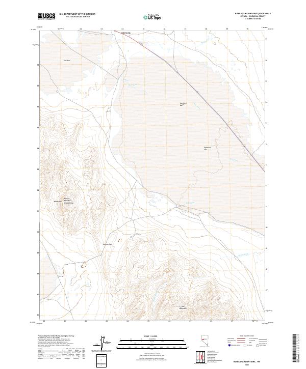
2021 Map of Bunejug Mountains
USGS Topo · Published 2021About this map
Salt Wells stands at the northern edge of a landscape defined by expansive desert basins and high-relief ridges in Churchill County. This 2021 survey documents the stark geography of the Salt Wells Basin and Eightmile Flat, where intermittent drainage systems like Salt Creek and Diamond Cr terminate in seasonal playas. The map detail highlights a reliance on sparse water sources such as Borax Spring and Rock Springs, which were historically critical for travel across this arid section of the Great Basin.
Find a feature on this map
21 named features on this map. Tap any name to fly to it.
Don’t see what you’re looking for? This feature index may not catch every label — zoom into the map to look around manually.
Map Details
Editions of this 2021 Bunejug Mountains Map
This is the sole edition of this map. No revisions or reprints were ever made.
Other maps of this area

1908 · Carson Sink
USGS Topo · 1:250,000

1910 · Carson Sink
USGS Topo · 1:250,000

1951 · Carson Lake
USGS Topo · 1:62,500

1951 · Allen Springs
USGS Topo · 1:62,500

1957 · Reno
USGS Topo · 1:250,000

1959 · Reno
USGS Topo · 1:250,000

1960 · Reno
USGS Topo · 1:250,000

1972 · Fourmile Flat
USGS Topo · 1:24,000

1972 · Diamond Canyon
USGS Topo · 1:24,000

1979 · Fallon
USGS Topo · 1:100,000