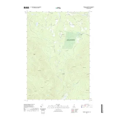
2021 Map of Bunnell Mountain
USGS Topo · Published 2021About this map
Bunnell Mountain and Gore Mountain dominate the southern half of this landscape, forming a high, ridged divide where headwaters like Columbia Brook and Johnson Brook originate. The northern terrain is defined by a series of named hills and family-associated landforms, including Titus Hill, Carlton Hill, and Marshall Hill. The small settlement of Bungy is situated in the northeast, near the Silvio O Conte National Fish and Wildlife Refuge, which encompasses the Blueberry Swamp.
Find a feature on this map
68 named features on this map. Tap any name to fly to it.
Don’t see what you’re looking for? This feature index may not catch every label — zoom into the map to look around manually.
Map Details
Editions of this 2021 Bunnell Mountain Map
This is the sole edition of this map. No revisions or reprints were ever made.
Other maps of this area

1920 · Guildhall
USGS Topo · 1:62,500

1929 · Averill
USGS Topo · 1:62,500

1930 · Percy
USGS Topo · 1:62,500

1930 · Dixville
USGS Topo · 1:62,500

1931 · Guildhall
USGS Topo · 1:48,000

1933 · Guildhall
USGS Topo · 1:48,000

1933 · Dixville
USGS Topo · 1:62,500

1934 · Percy
USGS Topo · 1:62,500

1934 · Dixville
USGS Topo · 1:62,500

1937 · Guildhall
USGS Topo · 1:62,500