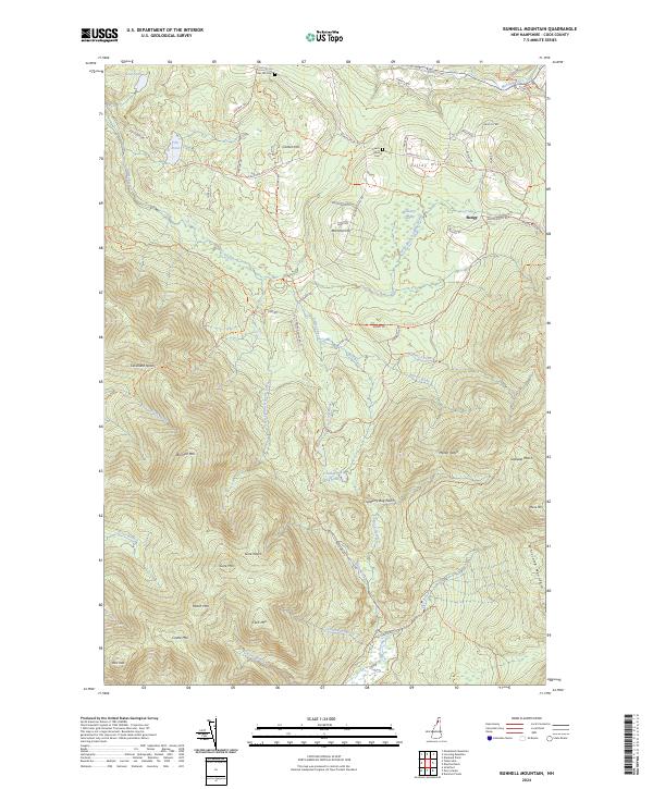
2024 Map of Bunnell Mountain
USGS Topo · Published 2024About this map
Bunnell Mtn and the high peaks of Coos County define this landscape, where steep ridgelines are carved by a dense network of high-elevation waterways. The drainage patterns of Simms Stream and Nash Stream dictate the passage through various notches, including Gore Notch and Cranberry Bog Notch. While much of the area is occupied by the protected lands of the Silvio O-Conte National Fish and Wildlife Refuge, the northern sections reflect a long history of upland settlement and movement. Local history is anchored by the Titus Hill Cem and Keach Road Cem, while the small settlement of Bungy remains a named point of interest near the junction of Bungy Rd and Kelsey Notch Rd. The map tracks Numerous old tracks like the Bunnell Rd Trl and Picnic Loop Trl, which follow the natural contours of the northern Appalachians.
Find a feature on this map
64 named features on this map. Tap any name to fly to it.
Don’t see what you’re looking for? This feature index may not catch every label — zoom into the map to look around manually.
Map Details
Editions of this 2024 Bunnell Mountain Map
This is the sole edition of this map. No revisions or reprints were ever made.
Other maps of this area

1920 · Guildhall
USGS Topo · 1:62,500

1929 · Averill
USGS Topo · 1:62,500

1930 · Percy
USGS Topo · 1:62,500

1930 · Dixville
USGS Topo · 1:62,500

1931 · Guildhall
USGS Topo · 1:48,000

1933 · Guildhall
USGS Topo · 1:48,000

1933 · Dixville
USGS Topo · 1:62,500

1934 · Percy
USGS Topo · 1:62,500

1934 · Dixville
USGS Topo · 1:62,500

1937 · Guildhall
USGS Topo · 1:62,500