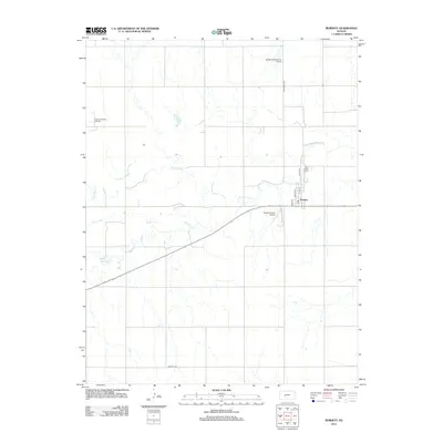
2012 Map of Burdett
USGS Topo · Published 2012About this map
Burdett serves as the central hub of this western Kansas landscape, where the street grid of Maple St and Elm St meets the local commerce of the Po. The surrounding terrain is defined by the winding course of the Pawnee River, which meanders across the northern half of the sheet, joined from the south by Buckner Cr and Dry Cr. This area showcases the logistical needs of a rural aviation and energy economy, featuring both the Burdett Community Airport and the Rucker Burdett Airport. To the northwest, the Eakin Northwest Oil Field indicates the subsurface industrial activity that complements the agricultural grid of roads like Alexandor Rd and Garfield Rd.
Find a feature on this map
15 named features on this map. Tap any name to fly to it.
Don’t see what you’re looking for? This feature index may not catch every label — zoom into the map to look around manually.
Map Details
Editions of this 2012 Burdett Map
This is the sole edition of this map. No revisions or reprints were ever made.
Other maps of this area

1889 · Larned
USGS Topo · 1:125,000

1891 · Larned
USGS Topo · 1:125,000

1892 · Ness
USGS Topo · 1:125,000

1894 · Ness
USGS Topo · 1:125,000

1955 · Great Bend
USGS Topo · 1:250,000

1957 · Great Bend
USGS Topo · 1:250,000

1958 · Great Bend
USGS Topo · 1:250,000
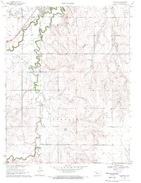
1970 · Hanston
USGS Topo · 1:24,000

1970 · Hanston NW
USGS Topo · 1:24,000
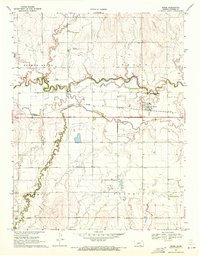
1970 · Rozel
USGS Topo · 1:24,000