Loading...
Loading map...2023 Map of Burley
USGS Topo · Published 2023About this map
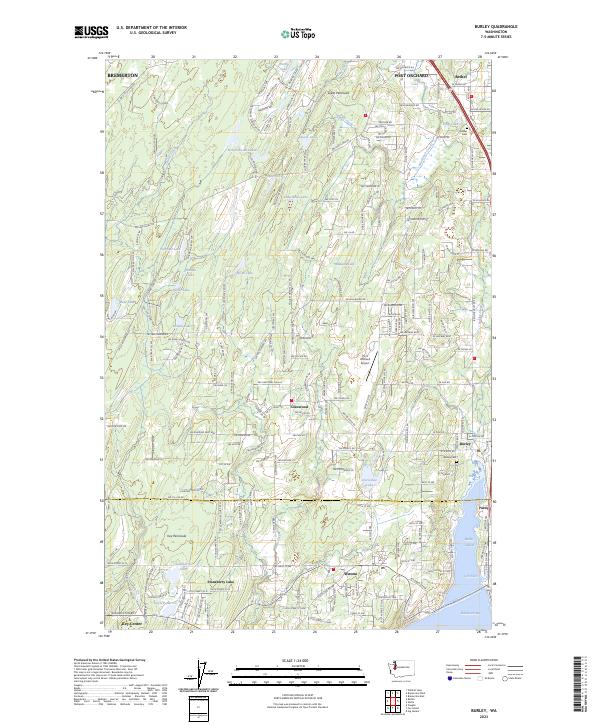
Burley and the surrounding woodlands of the Great Peninsula are defined by a complex network of freshwater lakes and saltwater inlets. This contemporary survey documents the modern residential sprawl extending from Port Orchard and Bethel southward toward the shoreline of Henderson Bay. The landscape is dotted with numerous small water bodies such as Square Lake, Lake Flora, and Wicks Lake, which are now surrounded by a dense web of local roads and residential lanes.
Find a feature on this map
103 named features on this map. Tap any name to fly to it.
Don’t see what you’re looking for? This feature index may not catch every label — zoom into the map to look around manually.
Map Details
Date Portrayed2023
Date Published2023
PublisherU.S. Geological Survey
Map TypeTopographic
Scale1:24000
Physical Dimensions24 x 29 inches
Editions of this 2023 Burley Map
This is the sole edition of this map. No revisions or reprints were ever made.
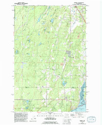
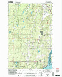
Historical Maps of Purdy Through Time
Featured Locations
Source Details
SourceU.S. Geological Survey
CopyrightPublic Domain