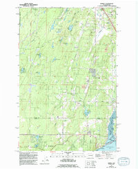
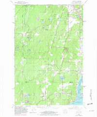
1953 Map of Burley
USGS Topo · Published 1994About this map
Burley Lagoon and the northern reaches of Henderson Bay anchor the coastal corner of this 1950s survey, illustrating the maritime and rural character of the Key Peninsula before extensive modern development. The landscape is a network of small lakes and creek drainages, including Square Lake, Horseshoe Lake, and the winding Blackjack Creek. Settlement is concentrated in established communities like Purdy, Wauna, and Burley, with local infrastructure represented by the Burley-Glenwood Sch. The presence of the Bremerton National Airport in the northwest and numerous Gravel Pits throughout the territory suggests a mid-century period of local industry and increasing transportation connectivity. The boundary between Kitsap and Pierce counties bisects the southern portion of the map, threading through these small coastal enclaves and wooded uplands.
Find a feature on this map
41 named features on this map. Tap any name to fly to it.
Don’t see what you’re looking for? This feature index may not catch every label — zoom into the map to look around manually.
Map Details
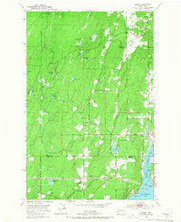
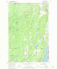
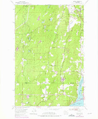
Editions of this 1953 Burley Map
6 editions found
Other maps of this area

1936 · Point Misery
USGS Topo · 1:62,500

1937 · Port Orchard
USGS Topo · 1:62,500

1938 · Allyn
USGS Topo · 1:62,500

1940 · Point Misery
USGS Topo · 1:62,500

1942 · Gig Harbor
USGS Topo · 1:62,500

1943 · Gig Harbor
USGS Topo · 1:62,500

1953 · Burley
USGS Topo · 1:24,000

1953 · Sylvan
USGS Topo · 1:24,000

1953 · Vaughn
USGS Topo · 1:24,000

1953 · Bremerton West
USGS Topo · 1:24,000