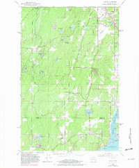
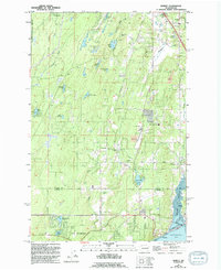
1953 Map of Burley
USGS Topo · Published 1982About this map
Henderson Bay and the narrow inlet of Burley Lagoon define the southern landscape of this coastal Washington region, where the Kitsap Co Pierce Co boundary divides the terrain. Small settlements like Burley, Purdy, and Wauna sit at the water's edge, connected by a network of rural routes including Big Harbor Road and Sidney Road. Inland, the geography is dotted with numerous small water bodies such as Horseshoe Lake, Stansberry Lake, and Square Lake, which speak to the area's glacial drainage patterns.
Find a feature on this map
37 named features on this map. Tap any name to fly to it.
Don’t see what you’re looking for? This feature index may not catch every label — zoom into the map to look around manually.
Map Details
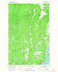
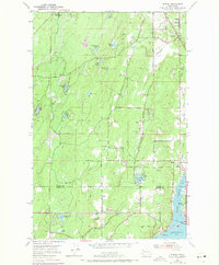
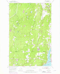
Editions of this 1953 Burley Map
6 editions found
Other maps of this area

1936 · Point Misery
USGS Topo · 1:62,500

1937 · Port Orchard
USGS Topo · 1:62,500

1938 · Allyn
USGS Topo · 1:62,500

1940 · Point Misery
USGS Topo · 1:62,500

1942 · Gig Harbor
USGS Topo · 1:62,500

1943 · Gig Harbor
USGS Topo · 1:62,500

1953 · Burley
USGS Topo · 1:24,000

1953 · Sylvan
USGS Topo · 1:24,000

1953 · Vaughn
USGS Topo · 1:24,000

1953 · Bremerton West
USGS Topo · 1:24,000