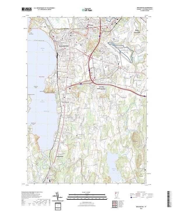
2024 Map of Burlington
USGS Topo · Published 2024About this map
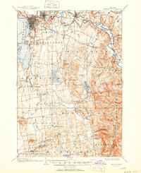
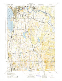
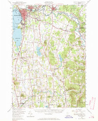
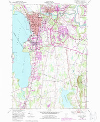
The Winooski River carves a dramatic path through this Chittenden County landscape, creating the distinctive Winooski Gorge as it flows toward the expansive waters of Lake Champlain. The map illustrates a dense concentration of academic and civic infrastructure, anchored by the University of Vermont, Champlain College, and the Community College of Vermont - Winooski. The urban centers of Burlington, Winooski, and South Burlington show a mature layout of residential streets and arterial roads, while the southern reaches near Shelburne and St. George reveal a more varied terrain of brooks and ponds.
Find a feature on this map
69 named features on this map. Tap any name to fly to it.
Don’t see what you’re looking for? This feature index may not catch every label — zoom into the map to look around manually.
Map Details
Editions of this 2024 Burlington Map
This is the sole edition of this map. No revisions or reprints were ever made.
Historical Maps of Old North End Through Time
6 maps found