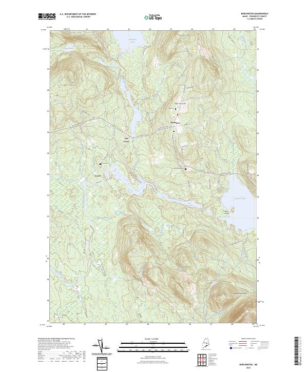
2024 Map of Burlington
USGS Topo · Published 2024About this map
Burlington and Lowell center this Penobscot County landscape, where settlement patterns are defined by the winding Passadumkeag River and the high ridges of the Maine woods. The village of Burlington sits at a junction of local routes like E Old Main Rd and Church Hill Rd, while East Lowell is situated near the outlet of Eskutassis Stream. The area's history is preserved in several local burial grounds, including Lowell Cem and Mount Repose Cem.
Find a feature on this map
60 named features on this map. Tap any name to fly to it.
Don’t see what you’re looking for? This feature index may not catch every label — zoom into the map to look around manually.
Map Details
Editions of this 2024 Burlington Map
This is the sole edition of this map. No revisions or reprints were ever made.
Other maps of this area

1917 · Passadumkeag
USGS Topo · 1:62,500

1920 · Winn
USGS Topo · 1:62,500

1931 · Saponac
USGS Topo · 1:48,000

1934 · Saponac
USGS Topo · 1:62,500

1942 · Lincoln
USGS Topo · 1:62,500

1954 · Millinocket
USGS Topo · 1:250,000

1957 · Lincoln
USGS Topo · 1:62,500

1957 · Saponac
USGS Topo · 1:62,500

1958 · Millinocket
USGS Topo · 1:250,000

1960 · Millinocket
USGS Topo · 1:250,000