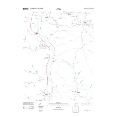
2013 Map of Burnaugh
USGS Topo · Published 2013About this map
The Big Sandy River forms a critical corridor through this region, separating West Virginia from Kentucky as it flows past a string of river settlements. Along its banks, the dual community of Durbin -Burnaugh and neighboring Kavanaugh demonstrate the historical importance of the river and rail lines for local development. Further inland, the landscape is defined by deep hollows and creek branches such as Whites Cr and Buffalo Cr, which carve through the terrain near Centerville.
Find a feature on this map
164 named features on this map. Tap any name to fly to it.
Don’t see what you’re looking for? This feature index may not catch every label — zoom into the map to look around manually.
Map Details
Editions of this 2013 Burnaugh Map
This is the sole edition of this map. No revisions or reprints were ever made.
Other maps of this area

1892 · Huntington
USGS Topo · 1:125,000

1898 · Huntington
USGS Topo · 1:125,000

1901 · Guyandot
USGS Topo · 1:62,500

1901 · Ceredo
USGS Topo · 1:62,500

1902 · Guyandot
USGS Topo · 1:62,500

1903 · Kenova
USGS Topo · 1:125,000

1904 · Kenova
USGS Topo · 1:125,000

1909 · Wayne
USGS Topo · 1:62,500

1911 · Louisa
USGS Topo · 1:48,000

1913 · Ceredo
USGS Topo · 1:62,500