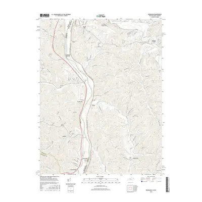
2016 Map of Burnaugh
USGS Topo · Published 2016About this map
The Big Sandy River forms a natural border between Kentucky and West Virginia on this 2016 survey, carving a path through the dissected plateau of Boyd and Wayne counties. The river valley serves as the primary corridor for regional infrastructure, carrying the Louisa Rd and supporting established riverfront settlements such as Kavanaugh, Burnaugh, and Lockwood. A dense concentration of family cemeteries, including Newman Cem, Johnston Cem, and Runyon Cem, indicates deep-rooted ancestral ties to the hollows and ridges flanking the waterway.
Find a feature on this map
119 named features on this map. Tap any name to fly to it.
Don’t see what you’re looking for? This feature index may not catch every label — zoom into the map to look around manually.
Map Details
Editions of this 2016 Burnaugh Map
This is the sole edition of this map. No revisions or reprints were ever made.
Other maps of this area

1892 · Huntington
USGS Topo · 1:125,000

1898 · Huntington
USGS Topo · 1:125,000
1901 · Guyandot
USGS Topo · 1:62,500
1901 · Ceredo
USGS Topo · 1:62,500
1902 · Guyandot
USGS Topo · 1:62,500

1903 · Kenova
USGS Topo · 1:125,000

1904 · Kenova
USGS Topo · 1:125,000
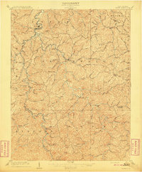
1909 · Wayne
USGS Topo · 1:62,500
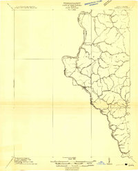
1911 · Louisa
USGS Topo · 1:48,000
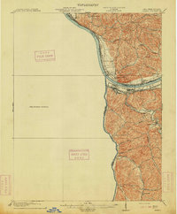
1913 · Ceredo
USGS Topo · 1:62,500