2022 Map of Burnaugh
USGS Topo · Published 2022About this map
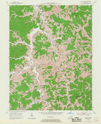
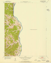
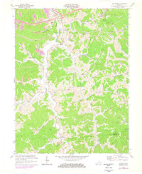
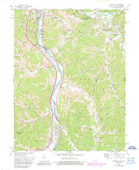
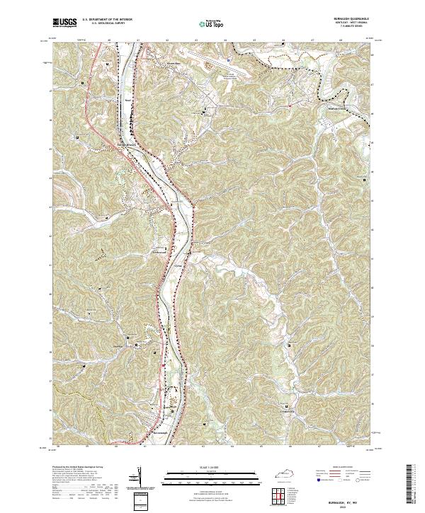
The Big Sandy River forms the state boundary between Boyd Co, Kentucky, and Wayne County, West Virginia, serving as the dominant geographic feature of this river valley landscape. Along its banks, the settlements of Lockwood, Cyrus, and Burnaugh align with the primary transportation corridors of Louisa Rd and the Big Sandy River Rd. The terrain is defined by numerous drainage systems such as Buffalo Creek, Durbin Cr, and Twelvepole Creek that have carved out narrow hollows and ridges like Thacker Ridge and Cyrus Hollow.
Find a feature on this map
106 named features on this map. Tap any name to fly to it.
Don’t see what you’re looking for? This feature index may not catch every label — zoom into the map to look around manually.
Map Details
Editions of this 2022 Burnaugh Map
This is the sole edition of this map. No revisions or reprints were ever made.
Historical Maps of Durbin-Burnaugh Through Time
6 maps found