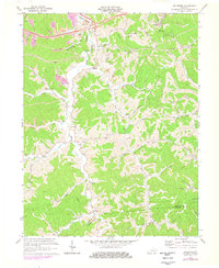
1971 Map of Boltsfork
USGS Topo · Published 1978About this map
The East Fork of the Little Sandy River carves a deep valley through the northern Kentucky hills, where the landscape is defined by the extraction of natural resources and a network of small upland settlements. By the early 1970s, the terrain shows significant industrial activity, including extensive Strip Mines and a Claypit concentrated along Big Run and the hillsides near Mavity. This industrial presence contrasts with the traditional rural layout of churches and schools that served the dispersed communities of Alley and Boltsfork. Genealogists may find particular value in the numerous family cemeteries and local landmarks like Musick Chapel, Mt Olivet Ch, and the Garner Sch. The map also details the modernization of the area through numerous pipelines and oil and gas wells that sit alongside established watercourses like Bear Creek and Laurel Creek.
Find a feature on this map
55 named features on this map. Tap any name to fly to it.
Don’t see what you’re looking for? This feature index may not catch every label — zoom into the map to look around manually.
Map Details
Editions of this 1971 Boltsfork Map
2 editions found
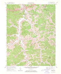
Other maps of this area

1901 · Ceredo
USGS Topo · 1:62,500

1903 · Kenova
USGS Topo · 1:125,000

1904 · Kenova
USGS Topo · 1:125,000

1911 · Louisa
USGS Topo · 1:48,000

1913 · Ceredo
USGS Topo · 1:62,500

1913 · Louisa
USGS Topo · 1:62,500

1939 · Louisa
USGS Topo · 1:62,500
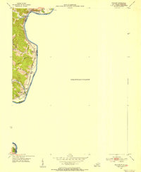
1953 · Prichard
USGS Topo · 1:24,000

1953 · Rush
USGS Topo · 1:24,000

1953 · Boltsfork
USGS Topo · 1:24,000