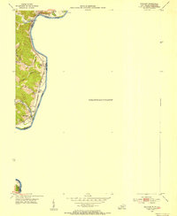
1953 Map of Prichard
USGS Topo · Published 1954About this map
The Big Sandy River forms the central artery of this 1950s borderland, where the state line between Kentucky and West Virginia follows the water's edge. Along the western banks in Lawrence County, small communities like Buchanan and Zelda are positioned along the dual rail corridors of the Norfolk and Western and the Chesapeake and Ohio. The terrain is characterized by steep ridges and narrow valleys drained by numerous branches, including Roe Branch and Mill Branch, which feed into the main river or Blaine Creek. Local social and family history is anchored by landmarks such as Buchanan Chapel, Mayo Chapel, and the Kinner Cem. Infrastructure of the mid-century river economy is evident through features like Lock No 2 and a Gaging Sta, reflecting the importance of water management and navigation in this region where the hills of Appalachia meet the river valley.
Find a feature on this map
26 named features on this map. Tap any name to fly to it.
Don’t see what you’re looking for? This feature index may not catch every label — zoom into the map to look around manually.
Map Details
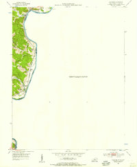
Editions of this 1953 Prichard Map
2 editions found
Other maps of this area

1892 · Huntington
USGS Topo · 1:125,000

1898 · Huntington
USGS Topo · 1:125,000

1901 · Guyandot
USGS Topo · 1:62,500

1901 · Ceredo
USGS Topo · 1:62,500

1902 · Guyandot
USGS Topo · 1:62,500

1903 · Kenova
USGS Topo · 1:125,000

1904 · Kenova
USGS Topo · 1:125,000

1909 · Wayne
USGS Topo · 1:62,500

1911 · Louisa
USGS Topo · 1:48,000

1913 · Ceredo
USGS Topo · 1:62,500