Loading...
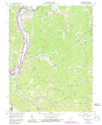
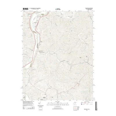
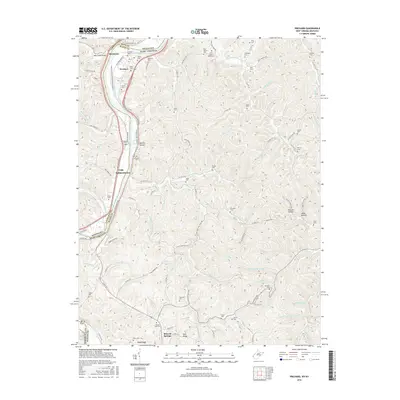
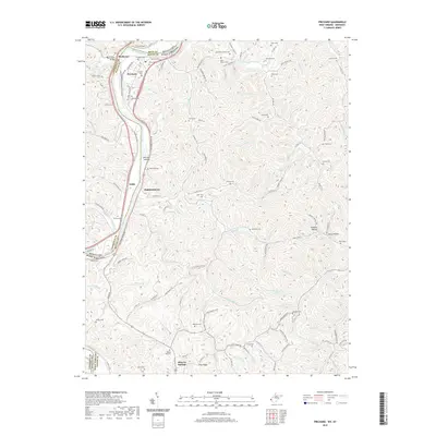
Loading map...1953 Map of Prichard
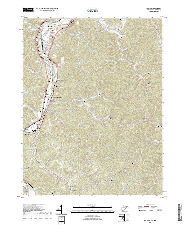
USGS Topo · Published 1957About this map
The Big Sandy River forms the central artery of this mid-century landscape, serving as the border between Kentucky and West Virginia. Along its western banks, the Chesapeake and Ohio railroad corridor dictates the placement of small settlements and transportation hubs like Catalpa Sta, Zelda, and Buchanan. The presence of Lock No 2 and a Gaging Sta underscore the river's importance for navigation and water management during this era.
Find a feature on this map
18 named features on this map. Tap any name to fly to it.
Don’t see what you’re looking for? This feature index may not catch every label — zoom into the map to look around manually.
Map Details
Date Portrayed1953
Date Published1957
PublisherU.S. Geological Survey
Map TypeTopographic
Scale1:24,000
Physical Dimensions22 x 26.7 inches
Editions of this 1953 Prichard Map
2 editions found
Historical Maps of Louisa Through Time
7 maps found
Featured Locations
Source Details
SourceU.S. Geological Survey
CopyrightPublic Domain