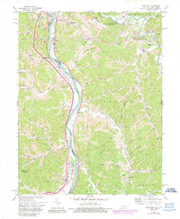
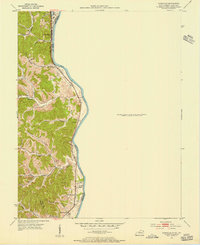
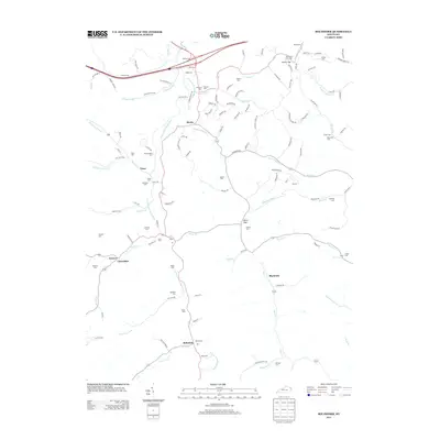
1972 Map of Burnaugh
USGS Topo · Published 1989About this map
The Big Sandy River serves as the primary artery for this tri-state borderland, where West Virginia and Kentucky meet amidst industrial development and rugged hills. The landscape is defined by the Tri-State Airport Walker-Long Field perched on the eastern bluffs, while the river valley below facilitates a network of pipelines, oil tanks, and a major conveyor system near Neal. Small communities like Savage Branch and Burnaugh are situated along the transit corridors that follow the water.
Find a feature on this map
66 named features on this map. Tap any name to fly to it.
Don’t see what you’re looking for? This feature index may not catch every label — zoom into the map to look around manually.
Map Details
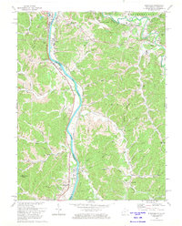
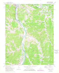
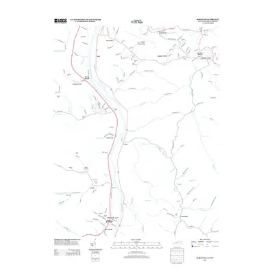
Editions of this 1972 Burnaugh Map
3 editions found
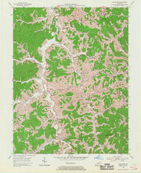
Historical Maps of Hidden Valley Through Time
14 maps found
1953 Boltsfork
Boyd County, KY
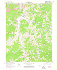
1953 Burnaugh
Boyd County, KY
1971 Boltsfork
Boyd County, KY
1972 Burnaugh
Boyd County, KY
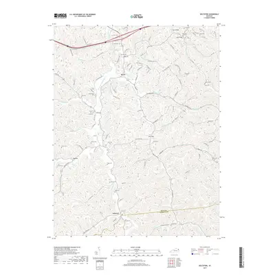
2010 Boltsfork
Boyd County, KY
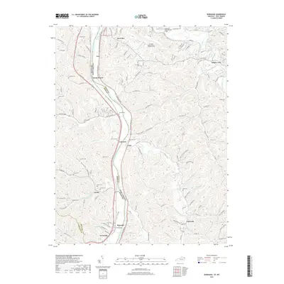
2011 Burnaugh
Boyd County, KY
2013 Boltsfork
Boyd County, KY
2013 Burnaugh
Boyd County, KY
2016 Boltsfork
Boyd County, KY
2016 Burnaugh
Boyd County, KY
2019 Boltsfork
Boyd County, KY
2019 Burnaugh
Boyd County, KY
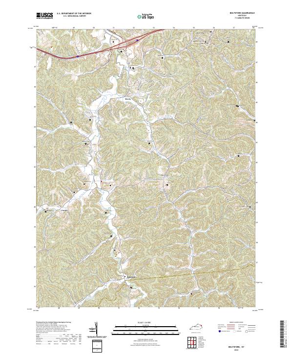
2022 Boltsfork
Boyd County, KY
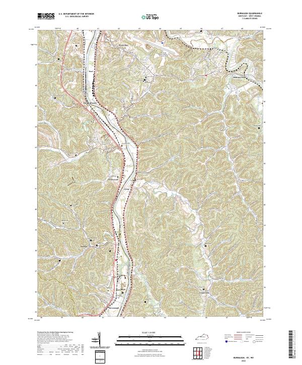
2022 Burnaugh
Boyd County, KY