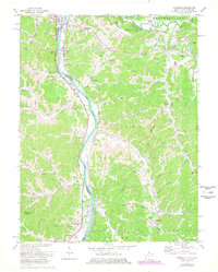
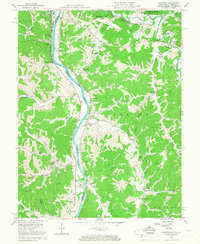
1972 Map of Burnaugh
USGS Topo · Published 1978About this map
The Big Sandy River forms the central spine of this 1970s survey, marking the border between Kentucky and West Virginia. This area is defined by its industrial and transportation infrastructure, where the Chesapeake and Ohio and Norfolk and Western railroads follow the river valley, serving settlements like Burnaugh and Neal. The landscape is a complex network of ridges and hollows, such as Cyrus Hollow and Whites Creek, increasingly carved by energy infrastructure including numerous pipelines, oil tanks, and a mine.
Find a feature on this map
64 named features on this map. Tap any name to fly to it.
Don’t see what you’re looking for? This feature index may not catch every label — zoom into the map to look around manually.
Map Details
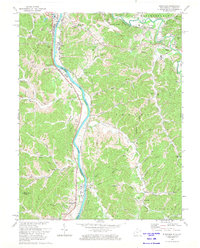
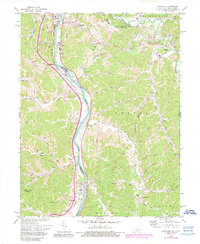
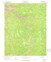
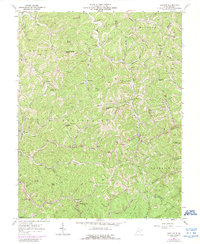
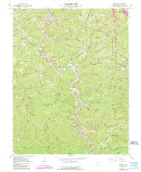
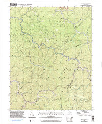
Editions of this 1972 Burnaugh Map
3 editions found
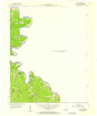
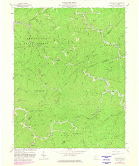
Historical Maps of Hidden Valley Through Time
13 maps found
1954 Webb
Wayne County, WV
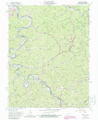
1957 Burnaugh
Wayne County, WV
1962 Kiahsville
Wayne County, WV
1962 Nestlow
Wayne County, WV
1962 Radnor
Wayne County, WV
1963 Webb
Wayne County, WV
1963 Wilsondale
Wayne County, WV
1996 Wilsondale
Wayne County, WV
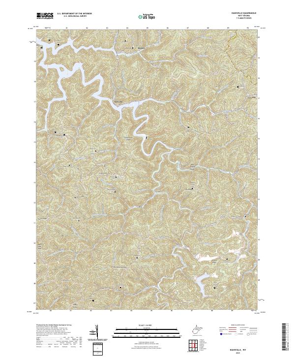
2023 Kiahsville
Wayne County, WV
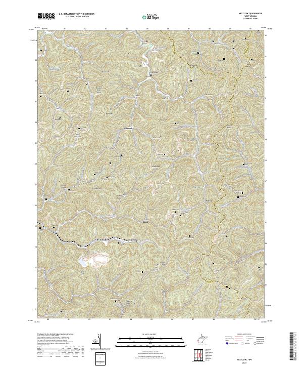
2023 Nestlow
Wayne County, WV
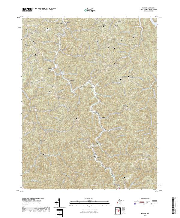
2023 Radnor
Wayne County, WV
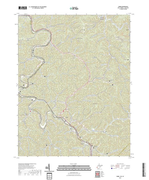
2023 Webb
Wayne County, WV
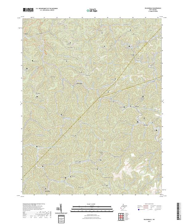
2023 Wilsondale
Wayne County, WV