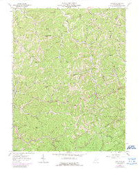
1957 Map of Burnaugh
USGS Topo · Published 1966About this map
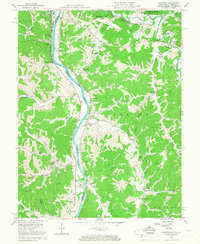
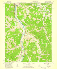
The Big Sandy River forms a sharp boundary between West Virginia and Kentucky in this mid-century topographic record, winding northward to join the Ohio River at Neal. This river corridor serves as a major transportation artery, with the Norfolk and Western and Chesapeake and Ohio railroads hugging the banks near settlements like Leach Station and Cyrus. In the northeast, the development of the Tri-State Airport and the U S Veterans Hospital signifies the postwar modernization of the Westmoreland area.
Find a feature on this map
69 named features on this map. Tap any name to fly to it.
Don’t see what you’re looking for? This feature index may not catch every label — zoom into the map to look around manually.
Map Details
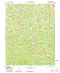
Editions of this 1957 Burnaugh Map
2 editions found
Historical Maps of Hidden Valley Through Time
13 maps found
1954 Webb
Wayne County, WV
1957 Burnaugh
Wayne County, WV
1962 Kiahsville
Wayne County, WV
1962 Nestlow
Wayne County, WV
1962 Radnor
Wayne County, WV
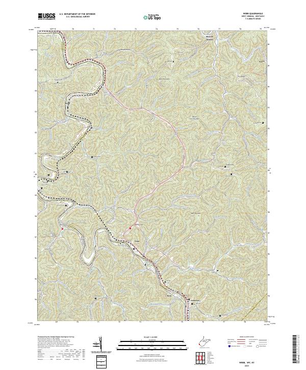
1963 Webb
Wayne County, WV
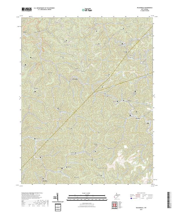
1963 Wilsondale
Wayne County, WV
1996 Wilsondale
Wayne County, WV
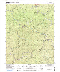
2023 Kiahsville
Wayne County, WV
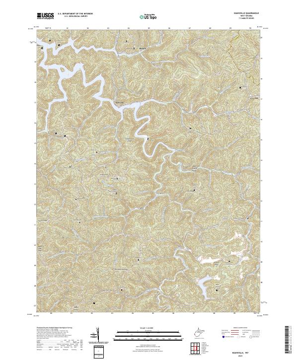
2023 Nestlow
Wayne County, WV
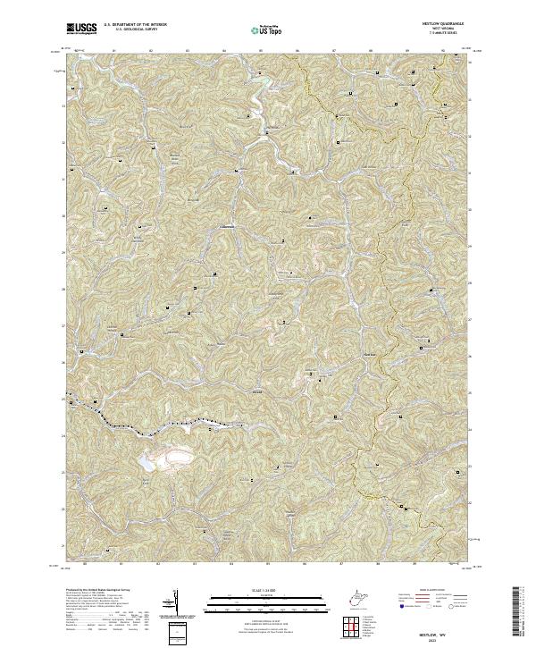
2023 Radnor
Wayne County, WV
2023 Webb
Wayne County, WV
2023 Wilsondale
Wayne County, WV