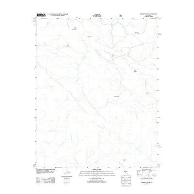
2012 Map of Burnett Peak
USGS Topo · Published 2012About this map
The Nacimiento River carves a deep path through this section of Monterey County, defining a landscape of sharp ridges and isolated flats. Named landforms like Italian Flat, Oak Flat, and Little Oak Flat offer clear evidence of the habitable level ground found between steep drainage systems such as Salmon Cr and El Piojo Cr. The terrain is punctuated by significant elevations, most notably Burnett Peak and the high ridges of Piedras Altas The Palisades in the northwest. Local history and topography are reflected in descriptive labels such as The Shut-in, where the river passage narrows significantly, and Bull Canyon. The presence of numerous named seasonal drainages, including Chris Flood Cr and Little Burnett Cr, highlights the complex watershed of this Central Coast mountain region.
Find a feature on this map
27 named features on this map. Tap any name to fly to it.
Don’t see what you’re looking for? This feature index may not catch every label — zoom into the map to look around manually.
Map Details
Editions of this 2012 Burnett Peak Map
This is the sole edition of this map. No revisions or reprints were ever made.
Other maps of this area

1919 · Bryson
USGS Topo · 1:62,500

1919 · Piedras Blancas
USGS Topo · 1:62,500

1919 · San Simeon
USGS Topo · 1:62,500

1921 · Cape San Martin
USGS Topo · 1:62,500

1927 · Piedras Blancas
USGS Topo · 1:62,500

1937 · San Simeon
USGS Topo · 1:62,500

1941 · Cape San Martin
USGS Topo · 1:62,500

1941 · Bryson
USGS Topo · 1:62,500

1942 · Bryson
USGS Topo · 1:62,500

1942 · Cape San Martin
USGS Topo · 1:62,500