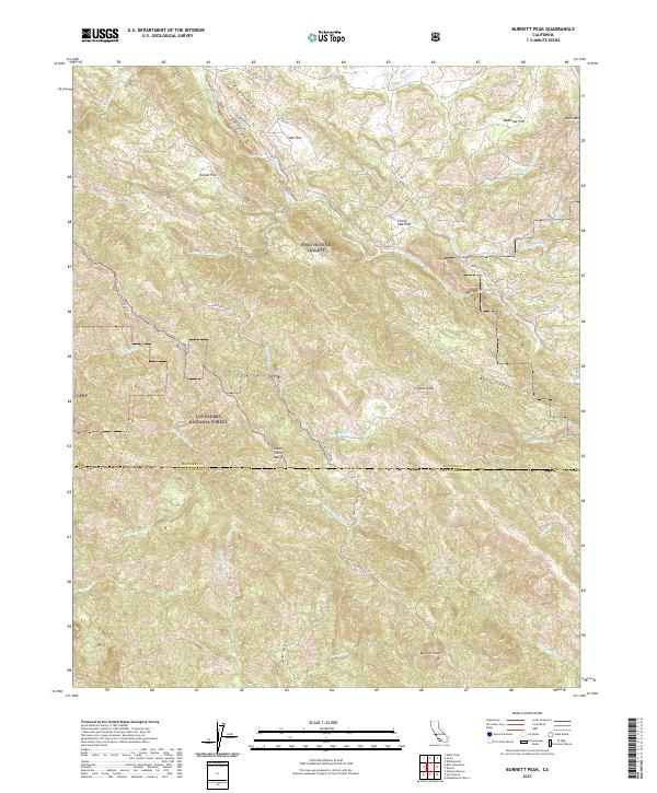
2021 Map of Burnett Peak
USGS Topo · Published 2021About this map
Fort Hunter Liggett dominates the northern reaches of this landscape, where military installation lands meet the steep terrain of the Los Padres National Forest. The map documents a rugged section of the Santa Lucia Range, defined by the prominent Burnett Peak and the unique geological formation of The Palisades. This area serves as a significant drainage divide, where the Nacimiento River and its various tributaries, such as El Piojo Cr and Pozo Hondo Cr, carve through a series of high-altitude flats including Italian Flat and Oak Flat. The southern portion of the sheet captures the boundary between Monterey and San Luis Obispo Counties, following the ridge lines. Remote access is provided by routes like Coast Ridge Rd and Rocky Butte Truck Trl, which navigate the steep canyons of Bull Canyon and the narrow passage at The Shut-in.
Find a feature on this map
50 named features on this map. Tap any name to fly to it.
Don’t see what you’re looking for? This feature index may not catch every label — zoom into the map to look around manually.
Map Details
Editions of this 2021 Burnett Peak Map
This is the sole edition of this map. No revisions or reprints were ever made.
Other maps of this area

1919 · Bryson
USGS Topo · 1:62,500

1919 · Piedras Blancas
USGS Topo · 1:62,500

1919 · San Simeon
USGS Topo · 1:62,500

1921 · Cape San Martin
USGS Topo · 1:62,500

1927 · Piedras Blancas
USGS Topo · 1:62,500

1937 · San Simeon
USGS Topo · 1:62,500

1941 · Cape San Martin
USGS Topo · 1:62,500

1941 · Bryson
USGS Topo · 1:62,500

1942 · Bryson
USGS Topo · 1:62,500

1942 · Cape San Martin
USGS Topo · 1:62,500