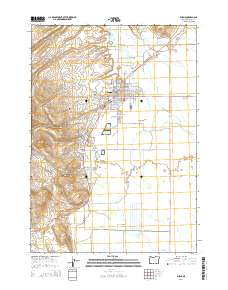
2014 Map of Burns
USGS Topo · Published 2014About this map
Burns and the industrial enclave of Hines anchor this high-desert landscape in Harney County, where the settlement pattern reflects a long history of tribal presence and timber processing. The Silvies River and its various distributaries, including Foley Slough and Whiting Slough, form a complex hydrological network across the valley floor. To the north and west of the main town site, Indian Village and several distinct burial grounds, such as the Paiute Cem and Burns Paiute Cem, mark the cultural geography of the Burns Paiute Tribe. The map details the transition from the residential grid and the Skeleton Addition to the industrial features of the south, specifically the Hines Mill Pond. Geothermal activity is evident through the presence of Millpond Hot Spring and the Roadland Warm Springs located near the river forks.
Find a feature on this map
63 named features on this map. Tap any name to fly to it.
Don’t see what you’re looking for? This feature index may not catch every label — zoom into the map to look around manually.
Map Details
Editions of this 2014 Burns Map
This is the sole edition of this map. No revisions or reprints were ever made.
Other maps of this area
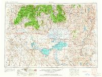
1955 · Burns
USGS Topo · 1:250,000
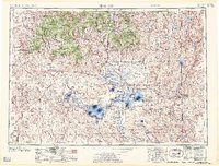
1958 · Burns
USGS Topo · 1:250,000
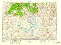
1959 · Burns
USGS Topo · 1:250,000
1959 · Harney
USGS Topo · 1:62,500
1959 · Dog Mountain
USGS Topo · 1:62,500
1959 · Lawen
USGS Topo · 1:62,500
1960 · Burns
USGS Topo · 1:62,500
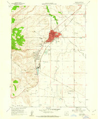
1960 · Burns
USGS Topo · 1:24,000
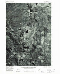
1975 · Burns
USGS Topo · 1:24,000
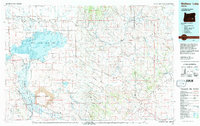
1978 · Malheur Lake
USGS Topo · 1:100,000