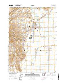
2017 Map of Burns
USGS Topo · Published 2017About this map
Burns and the neighboring industrial town of Hines occupy the high desert floor of the northern Harney Basin. This 2017 study illustrates the complex water management required in this arid landscape, dominated by the multi-channeled Silvies River and its intricate distributaries such as Newman Slough, Foley Slough, and Whiting Slough. The cultural history of the area is well-preserved through several distinct burial grounds, including the Burns Paiute Cem and Paiute Cem II, reflecting the presence of the Indian Village west of the city center. Geothermal activity is evident at Hot Spring and Reedland Warm Springs, while the legacy of the local timber economy is marked by the Hines Mill Pond. The transition from the rugged western hills of Heifer Canyon to the eastern wetlands of Potters Swamp highlights the varied terrain of this high-altitude valley.
Find a feature on this map
90 named features on this map. Tap any name to fly to it.
Don’t see what you’re looking for? This feature index may not catch every label — zoom into the map to look around manually.
Map Details
Editions of this 2017 Burns Map
This is the sole edition of this map. No revisions or reprints were ever made.
Other maps of this area

1955 · Burns
USGS Topo · 1:250,000

1958 · Burns
USGS Topo · 1:250,000

1959 · Burns
USGS Topo · 1:250,000

1959 · Harney
USGS Topo · 1:62,500

1959 · Dog Mountain
USGS Topo · 1:62,500

1959 · Lawen
USGS Topo · 1:62,500

1960 · Burns
USGS Topo · 1:62,500

1960 · Burns
USGS Topo · 1:24,000

1975 · Burns
USGS Topo · 1:24,000

1978 · Malheur Lake
USGS Topo · 1:100,000