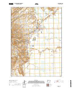
2020 Map of Burns
USGS Topo · Published 2020About this map
Burns and Hines form the primary population centers on the northern edge of the Harney Basin, situated where the foothills meet the high desert plains. The layout of Burns is anchored by the Harney County Courthouse, with the smaller settlement of Indian Village nearby and several burial grounds including Burns Cem, Burns Paiute Cem, and Paiute Cem 2 marking the local genealogy.
Find a feature on this map
97 named features on this map. Tap any name to fly to it.
Don’t see what you’re looking for? This feature index may not catch every label — zoom into the map to look around manually.
Map Details
Editions of this 2020 Burns Map
This is the sole edition of this map. No revisions or reprints were ever made.
Other maps of this area
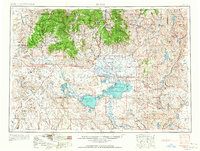
1955 · Burns
USGS Topo · 1:250,000
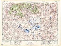
1958 · Burns
USGS Topo · 1:250,000
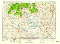
1959 · Burns
USGS Topo · 1:250,000
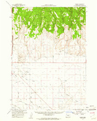
1959 · Harney
USGS Topo · 1:62,500
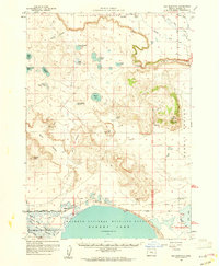
1959 · Dog Mountain
USGS Topo · 1:62,500
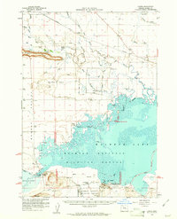
1959 · Lawen
USGS Topo · 1:62,500
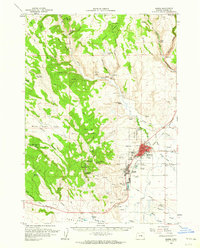
1960 · Burns
USGS Topo · 1:62,500
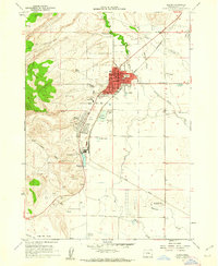
1960 · Burns
USGS Topo · 1:24,000
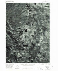
1975 · Burns
USGS Topo · 1:24,000
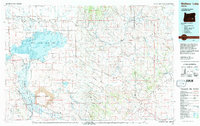
1978 · Malheur Lake
USGS Topo · 1:100,000