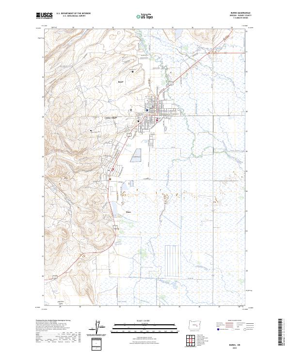
2023 Map of Burns
USGS Topo · Published 2023About this map
The Harney County Courthouse stands as a central landmark in Burns, anchoring a landscape where high-desert terrain meets the complex irrigation and drainage systems of the Silvies River basin. This modern survey illustrates the close proximity of the city to Indian Village and the industrial neighbor of Hines, revealing how development has clustered around the river's braided forks. The map provides significant detail for local researchers, documenting numerous civic and cultural sites such as Burns Cem, Paiute Cem 2, and the Burns Paiute Cem.
Find a feature on this map
78 named features on this map. Tap any name to fly to it.
Don’t see what you’re looking for? This feature index may not catch every label — zoom into the map to look around manually.
Map Details
Editions of this 2023 Burns Map
This is the sole edition of this map. No revisions or reprints were ever made.
Other maps of this area

1955 · Burns
USGS Topo · 1:250,000

1958 · Burns
USGS Topo · 1:250,000

1959 · Burns
USGS Topo · 1:250,000

1959 · Harney
USGS Topo · 1:62,500

1959 · Dog Mountain
USGS Topo · 1:62,500

1959 · Lawen
USGS Topo · 1:62,500

1960 · Burns
USGS Topo · 1:62,500

1960 · Burns
USGS Topo · 1:24,000

1975 · Burns
USGS Topo · 1:24,000

1978 · Malheur Lake
USGS Topo · 1:100,000