Loading...
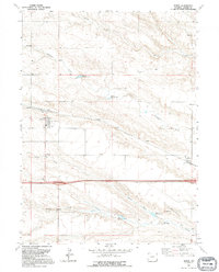
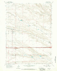
Loading map...1991 Map of Burns
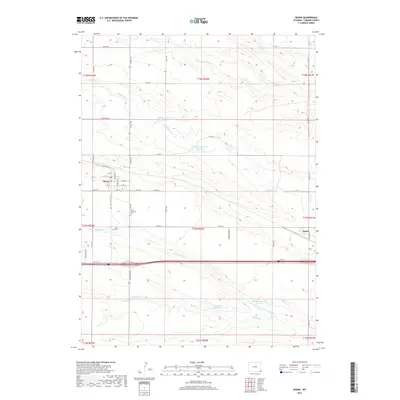
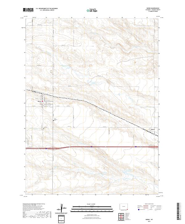
USGS Topo · Published 1995About this map
Burns stands as a focal point in eastern Laramie County, characterized by its compact town grid and the nearby Burns Cem. The landscape is defined by the vital water management systems of the high plains, featuring Thomas Reservoir No 1, Thomas Reservoir No 2, and Gilland Reservoir. These catchments, along with Lodgepole Creek and Spring Creek, illustrate the historical reliance on irrigation and stock water in this semi-arid region.
Find a feature on this map
19 named features on this map. Tap any name to fly to it.
Don’t see what you’re looking for? This feature index may not catch every label — zoom into the map to look around manually.
Map Details
Date Portrayed1991
Date Published1995
PublisherU.S. Geological Survey
Map TypeTopographic
Scale1:24,000
Physical Dimensions21.6 x 26.8 inches
Editions of this 1991 Burns Map
This is the sole edition of this map. No revisions or reprints were ever made.
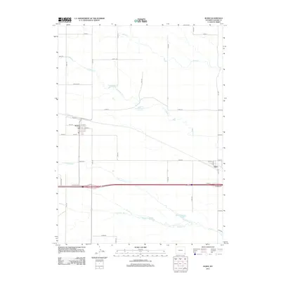
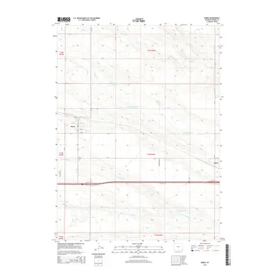
Historical Maps of Burns Through Time
6 maps found
Featured Locations
Source Details
SourceU.S. Geological Survey
CopyrightPublic Domain