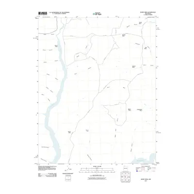
2010 Map of Burnt Mesa
USGS Topo · Published 2010About this map
Burnt Mesa anchors this landscape in northern San Juan County, where the high plateau is dissected by an intricate network of drainages. The Los Pinos River flows through the western portion of the area, feeding into the northern reaches of the Navajo Reservoir at the southern boundary. This 2010 survey highlights a distinct pattern of rural settlement characterized by several named "Places," likely reflecting historic family homesteads or small ranching operations across the mesa top and canyon floors. Notable locations include Christopher Place, Lucero Place, and Ulibarri Place. Water management in this arid environment is evidenced by the Mentzel Ditch in the northeast corner. The map also traces various access routes, such as Pine River Rd and numerous forest or county roads, including Road 4020, which navigate the complex terrain of canyons like Dick Earl Canyon and Benito Canyon.
Find a feature on this map
37 named features on this map. Tap any name to fly to it.
Don’t see what you’re looking for? This feature index may not catch every label — zoom into the map to look around manually.
Map Details
Editions of this 2010 Burnt Mesa Map
This is the sole edition of this map. No revisions or reprints were ever made.
Other maps of this area

1889 · Largo
USGS Topo · 1:250,000

1895 · Largo
USGS Topo · 1:250,000

1908 · Ignacio
USGS Topo · 1:125,000

1924 · Ignacio
USGS Topo · 1:125,000

1924 · Pagosa Springs
USGS Topo · 1:125,000

1927 · Pagosa Springs
USGS Topo · 1:125,000

1945 · Durango
USGS Topo · 1:250,000

1953 · Durango
USGS Topo · 1:250,000

1954 · Durango
USGS Topo · 1:250,000

1954 · Allison
USGS Topo · 1:24,000