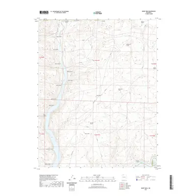
2020 Map of Burnt Mesa
USGS Topo · Published 2020About this map
Burnt Mesa stands at the center of this San Juan County landscape, defined by a complex network of canyons and high mesas that shape the movement of water toward the Navajo Reservoir in the south. The Los Pinos River flows through the western edge of the sheet, carving a path between steep-walled features like Reese Canyon and Wilmer Canyon. This modern topographic survey shows a terrain marked by deep drainage systems and family-named landmarks such as Dick Earl Canyon and Negro Andy Canyon.
Find a feature on this map
43 named features on this map. Tap any name to fly to it.
Don’t see what you’re looking for? This feature index may not catch every label — zoom into the map to look around manually.
Map Details
Editions of this 2020 Burnt Mesa Map
This is the sole edition of this map. No revisions or reprints were ever made.
Other maps of this area

1889 · Largo
USGS Topo · 1:250,000

1895 · Largo
USGS Topo · 1:250,000

1908 · Ignacio
USGS Topo · 1:125,000

1924 · Ignacio
USGS Topo · 1:125,000

1924 · Pagosa Springs
USGS Topo · 1:125,000

1927 · Pagosa Springs
USGS Topo · 1:125,000

1945 · Durango
USGS Topo · 1:250,000

1953 · Durango
USGS Topo · 1:250,000

1954 · Durango
USGS Topo · 1:250,000

1954 · Allison
USGS Topo · 1:24,000