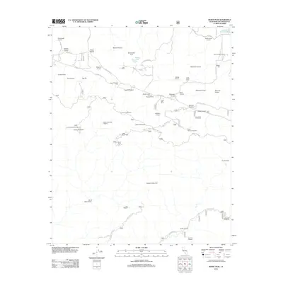
2012 Map of Burnt Peak
USGS Topo · Published 2012About this map
Three Points serves as a central hub for this portion of Los Angeles County, where high-desert canyons meet the northern slopes of the Sierra Pelona Mountains. The landscape is defined by a series of ranches and recreational retreats, including Sawmill Mountain Ranch, Kings Canyon Ranch, and the Timberline Meadows Resort, suggesting a region historically utilized for both agriculture and mountain getaways. The terrain is deeply incised by numerous drainages such as Redrock Canyon and Sawmill Canyon, which flow between prominent heights like Sawmill Mountain and Burnt Peak. This era of the landscape is marked by an established network of mountain ways and forest routes, including the Danielson Mtwy and Sawmill Motor Way, providing access to remote locations like Deer Lodge and the Atmore Meadows Campground. The presence of the Kings Canyon Percolation Basin highlights the critical role of water management in this arid mountain environment.
Find a feature on this map
84 named features on this map. Tap any name to fly to it.
Don’t see what you’re looking for? This feature index may not catch every label — zoom into the map to look around manually.
Map Details
Editions of this 2012 Burnt Peak Map
This is the sole edition of this map. No revisions or reprints were ever made.
Other maps of this area

1903 · Tejon
USGS Topo · 1:125,000

1915 · Elizabeth Lake
USGS Topo · 1:125,000

1917 · Elizabeth Lake
USGS Topo · 1:125,000

1931 · Warm Spring
USGS Topo · 1:24,000

1931 · Redrock Mtn
USGS Topo · 1:24,000

1932 · Hughes Lake
USGS Topo · 1:24,000

1932 · Fairmont
USGS Topo · 1:24,000

1932 · Neenach
USGS Topo · 1:24,000

1933 · Manzana
USGS Topo · 1:24,000
1936 · Warm Spring
USGS Topo · 1:24,000